Transport Functions
Road
Multimodal
Hub Profile
Place type
Populated place
Region
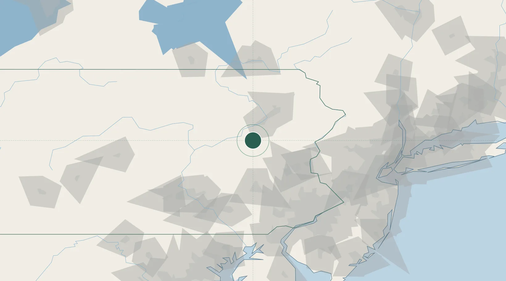
Pennsylvania
Time zone
America/New_York
Elevation
336 m
Location
Nearby Logistics Neighbours
Cities
- 1West Hazelton6 km
- 2Freeland9 km
- 3Tomhicken10 km
- 4Nanticoke20 km
- 5Hometown22 km
Ports
- 1Trenton137 km
- 2Philadelphia139 km
- 3Camden139 km
- 4Bristol140 km
- 5Burlington140 km
Airports
Trade Zones
DatabookThe Record of Consolidated Knowledge
United States beyond logistics?