UN/LOCODE hub · United States
USFQD
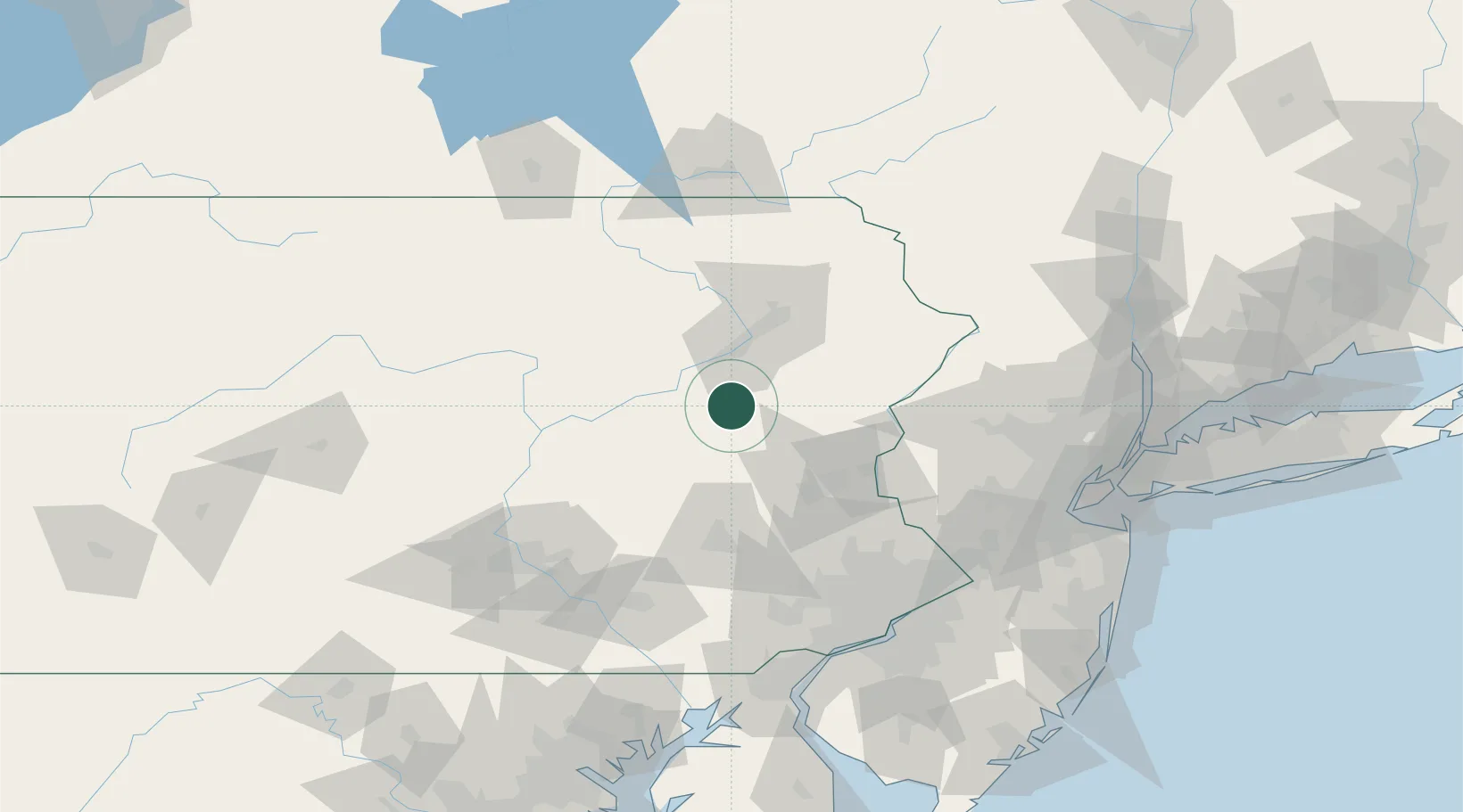
Freeland
41.0000°, -75.8833°
3,460
Population
2
Transport functions
Transport Functions
Road
Multimodal
Hub Profile
Place type
Populated place
Region
Pennsylvania
Population
3,460
Time zone
America/New_York
Elevation
568 m
Location
Nearby Logistics Neighbours
Cities
- 1Drums9 km
- 2West Hazelton11 km
- 3Tomhicken17 km
- 4Hometown22 km
- 5Hanover Township, Luzerne22 km
Ports
- 1Trenton130 km
- 2Bristol133 km
- 3Philadelphia133 km
- 4Camden133 km
- 5Burlington133 km
Airports
Trade Zones
DatabookThe Record of Consolidated Knowledge
United States beyond logistics?