Transport Functions
Road
Multimodal
Hub Profile
Place type
Populated place
Region
Pennsylvania
Time zone
America/New_York
Elevation
325 m
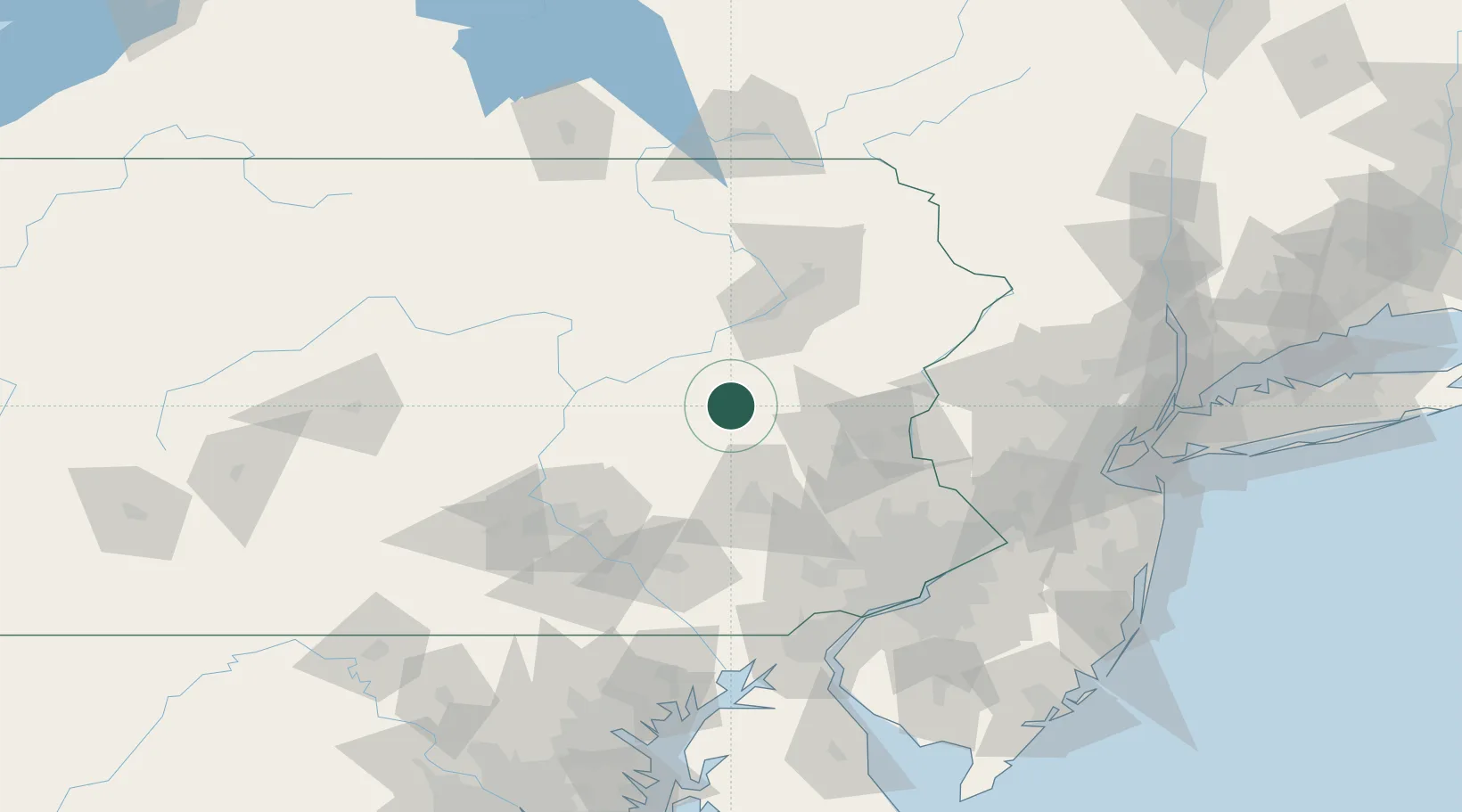
Location
Nearby Logistics Neighbours
Cities
- 1Hometown6 km
- 2Mahanoy City13 km
- 3Ringtown15 km
- 4Saint Clair16 km
- 5Tomhicken17 km
Ports
- 1Chester123 km
- 2Marcus Hook124 km
- 3Philadelphia124 km
- 4Camden124 km
- 5Paulsboro127 km
Airports
Trade Zones
DatabookThe Record of Consolidated Knowledge
United States beyond logistics?