Transport Functions
Rail
Road
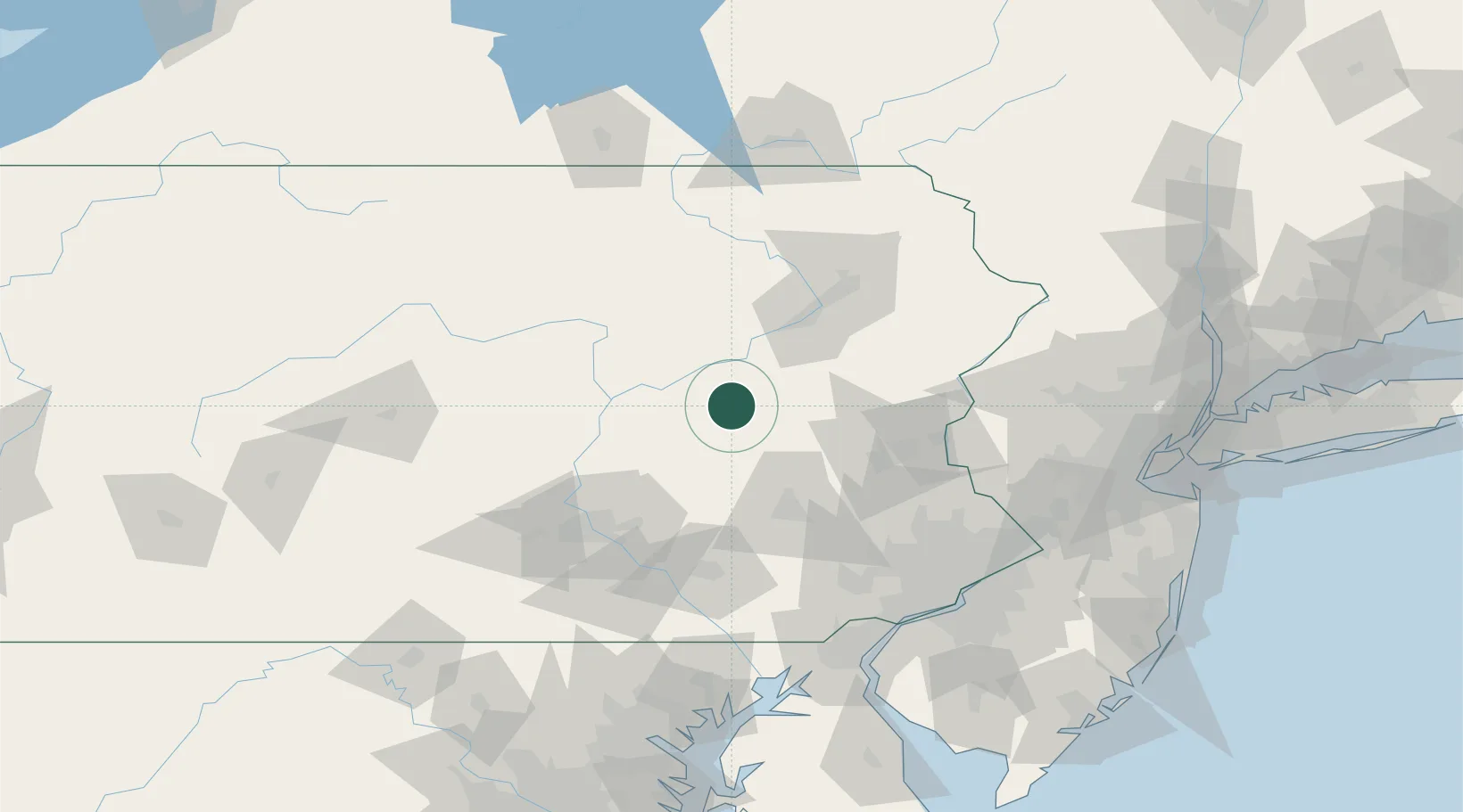
Hub Profile
Place type
Populated place
Region
Pennsylvania
Population
795
Time zone
America/New_York
Elevation
335 m
Location
Nearby Logistics Neighbours
Cities
- 1Mahanoy City4 km
- 2Barnesville15 km
- 3Saint Clair15 km
- 4Mount Carmel17 km
- 5Tomhicken17 km
Ports
- 1Chester133 km
- 2Marcus Hook133 km
- 3Philadelphia136 km
- 4Camden136 km
- 5Wilmington136 km
Airports
Trade Zones
DatabookThe Record of Consolidated Knowledge
United States beyond logistics?