Transport Functions
Road
Multimodal
Hub Profile
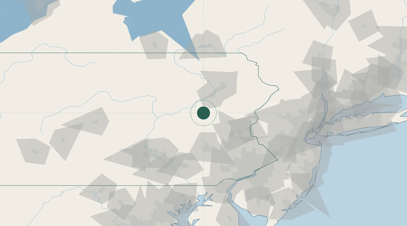
Region
PA
Location
Nearby Logistics Neighbours
Cities
- 1Drums6 km
- 2Tomhicken7 km
- 3Freeland11 km
- 4Hometown17 km
- 5Barnesville17 km
Ports
- 1Trenton135 km
- 2Philadelphia135 km
- 3Camden135 km
- 4Chester136 km
- 5Bristol137 km
Airports
Trade Zones
DatabookThe Record of Consolidated Knowledge
United States beyond logistics?