UN/LOCODE hub · United States
USIRR
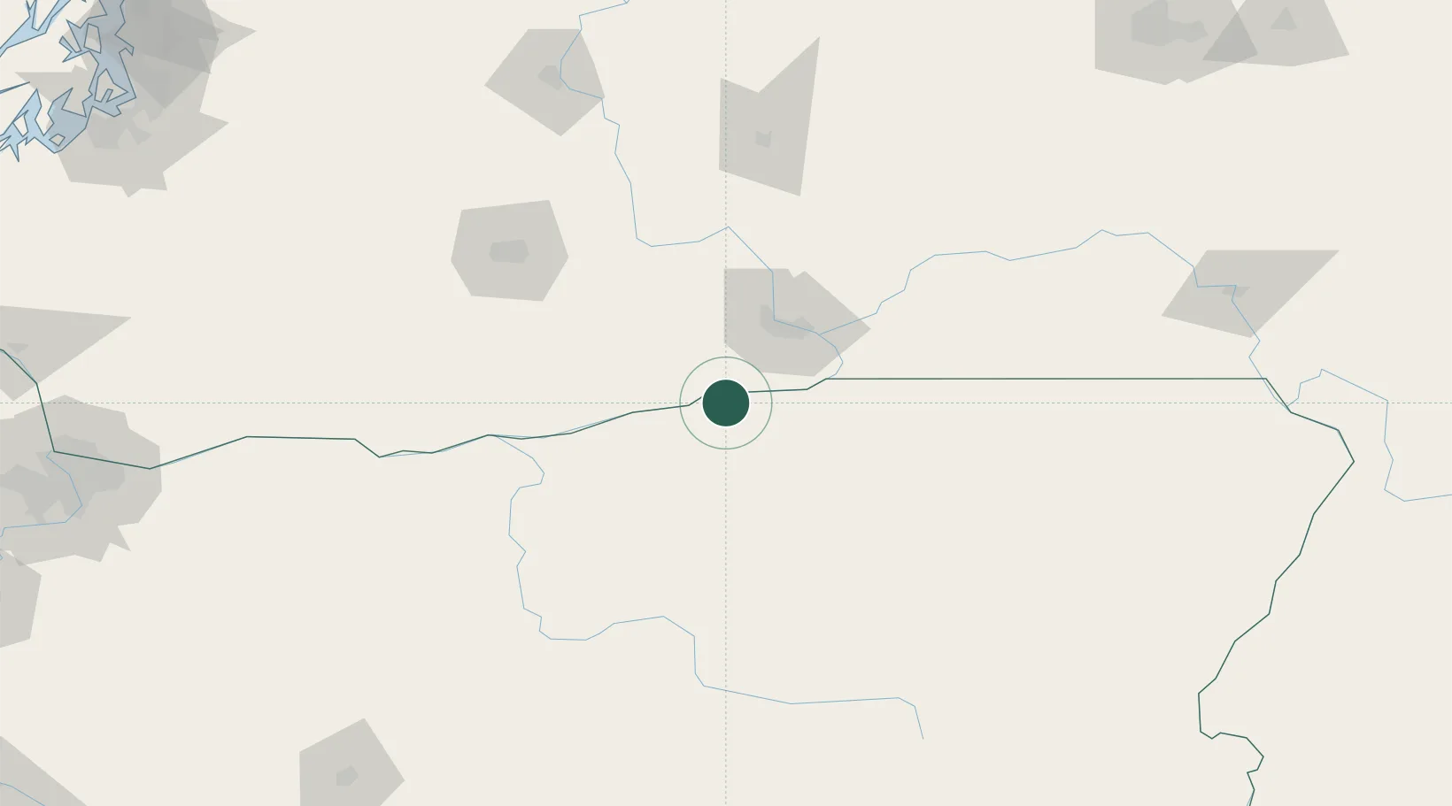
Irrigon
45.8833°, -119.4833°
1,800
Population
3
Transport functions
Transport Functions
Rail
Road
Multimodal
Hub Profile
Place type
Populated place
Region
Oregon
Population
1,800
Time zone
America/Los_Angeles
Elevation
92 m
Location
Nearby Logistics Neighbours
Cities
- 1Paterson11 km
- 2Benton City41 km
- 3Villard Junction49 km
- 4Tri-Cities50 km
- 5Burbank51 km
Ports
- 1The Dalles136 km
- 2Washougal225 km
- 3Camas229 km
- 4Vancouver250 km
- 5Portland251 km
Airports
Trade Zones
- 1FTZ No. 203 Moses Lake139 km
- 2FTZ No. 296 Vancouver250 km
- 3FTZ No. 224 Spokane251 km
- 4FTZ No. 045 Portland260 km
- 5FTZ No. 086 Tacoma272 km
DatabookThe Record of Consolidated Knowledge
United States beyond logistics?