Transport Functions
Port
Multimodal
Hub Profile
Place type
Populated place
Region
Illinois
Time zone
America/Chicago
Elevation
149 m
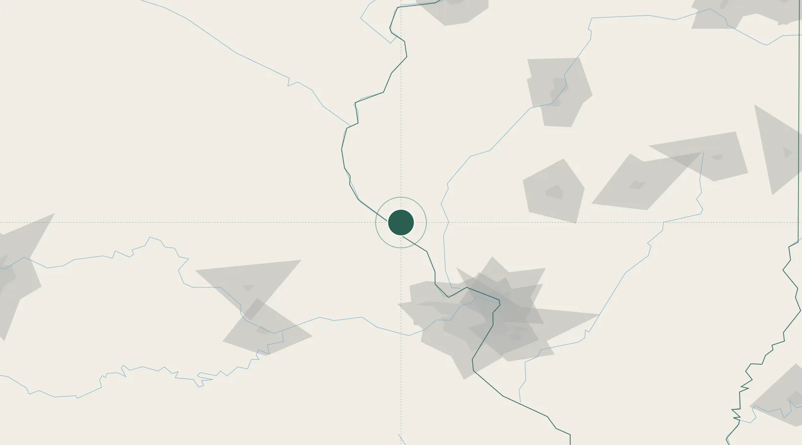
Location
Nearby Logistics Neighbours
Cities
- 1Barry17 km
- 2Pittsfield19 km
- 3Bowling Green27 km
- 4New London35 km
- 5Elsberry45 km
Ports
- 1Calumet Harbor382 km
- 2Indiana Harbor383 km
- 3Gary387 km
- 4Chicago388 km
- 5Wilmette398 km
Airports
Trade Zones
- 1FTZ No. 102 St. Louis County102 km
- 2FTZ No. 031 Granite City112 km
- 3FTZ No. 055 Burlington142 km
- 4FTZ No. 245 Decatur170 km
- 5FTZ No. 114 Peoria176 km
DatabookThe Record of Consolidated Knowledge
United States beyond logistics?