UN/LOCODE hub · United States
USTFE
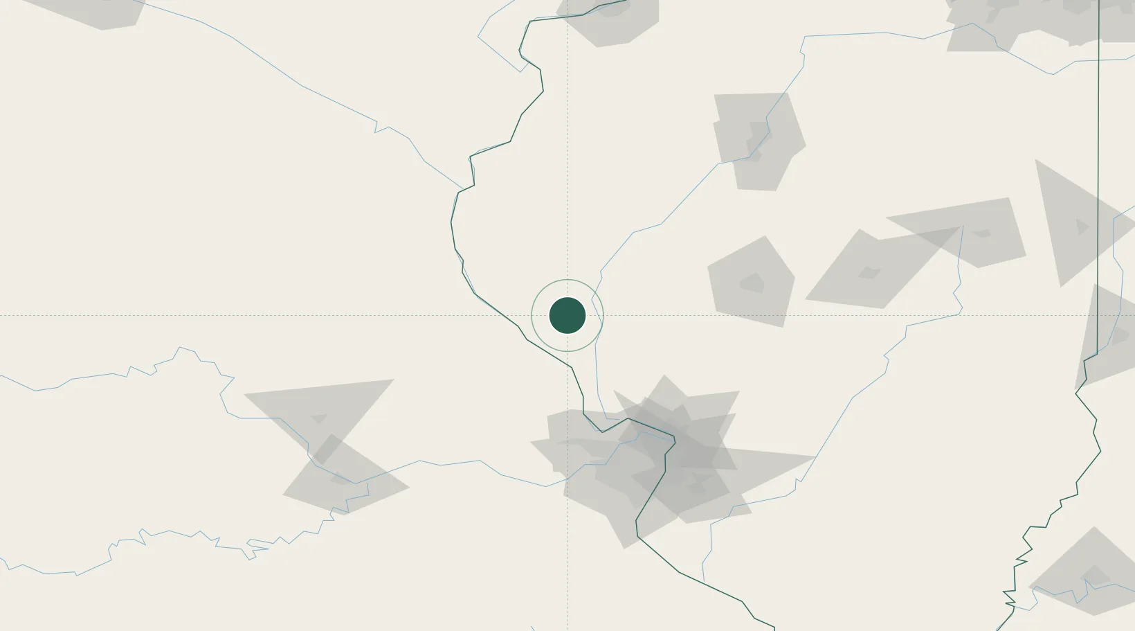
Pittsfield
39.6000°, -90.8000°
4,485
Population
3
Transport functions
Transport Functions
Rail
Road
Multimodal
Hub Profile
Place type
Provincial seat
Region
Illinois
Population
4,485
Time zone
America/Chicago
Elevation
223 m
Location
Nearby Logistics Neighbours
Cities
- 1Rockport19 km
- 2Barry22 km
- 3Bluffs28 km
- 4Winchester30 km
- 5Meredosia33 km
Ports
- 1Calumet Harbor365 km
- 2Indiana Harbor365 km
- 3Gary369 km
- 4Chicago370 km
- 5Wilmette381 km
Airports
Trade Zones
- 1FTZ No. 102 St. Louis County107 km
- 2FTZ No. 031 Granite City109 km
- 3FTZ No. 055 Burlington137 km
- 4FTZ No. 245 Decatur152 km
- 5FTZ No. 114 Peoria160 km
DatabookThe Record of Consolidated Knowledge
United States beyond logistics?