Transport Functions
Rail
Road
Multimodal
Hub Profile
Place type
Populated place
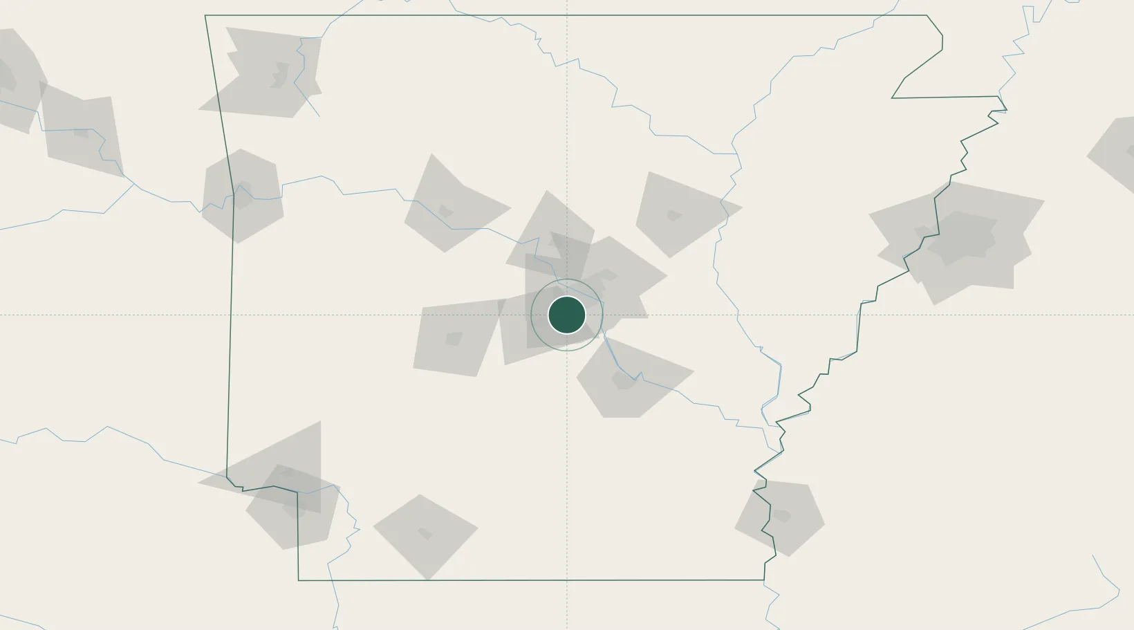
Region
Arkansas
Time zone
America/Chicago
Elevation
98 m
Location
Nearby Logistics Neighbours
Cities
- 1Alexander6 km
- 2Byant12 km
- 3Sherwood23 km
- 4Forest Park24 km
- 5Haskell28 km
Ports
- 1Port Of Memphis208 km
- 2Baton Rouge480 km
- 3Lake Charles500 km
- 4Madisonville517 km
- 5Orange523 km
Airports
Trade Zones
- 1FTZ No. 014 Little Rock19 km
- 2FTZ No. 287 Tunica County156 km
- 3FTZ No. 077 Memphis202 km
- 4FTZ No. 273 West Memphis207 km
- 5FTZ No. 223 Memphis214 km
DatabookThe Record of Consolidated Knowledge
United States beyond logistics?