UN/LOCODE hub · United States
USYRW
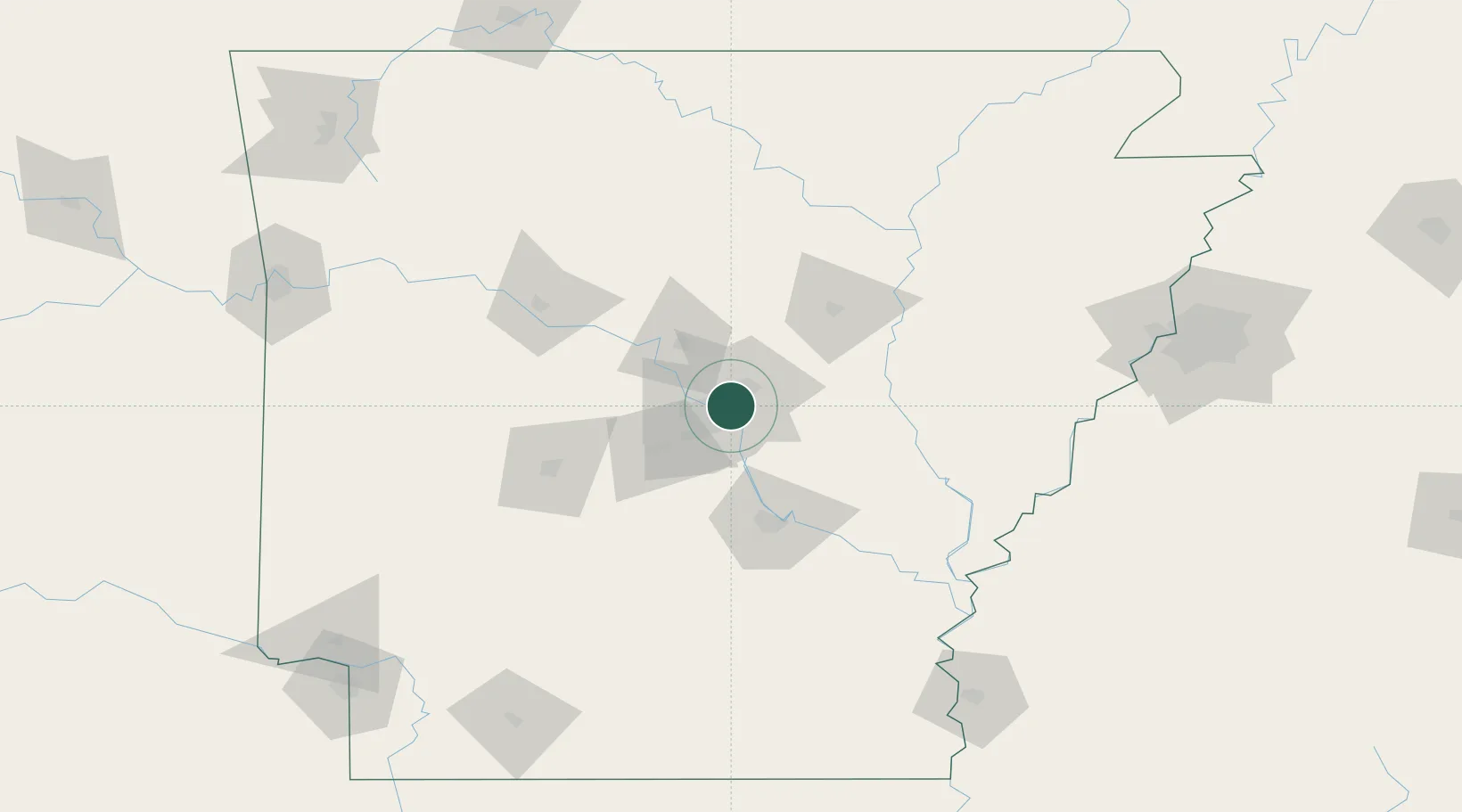
Sherwood
34.8000°, -92.2167°
30,517
Population
3
Transport functions
Transport Functions
Rail
Road
Multimodal
Hub Profile
Place type
Populated place
Region
Arkansas
Population
30,517
Time zone
America/Chicago
Elevation
100 m
Location
Nearby Logistics Neighbours
Ports
- 1Port Of Memphis189 km
- 2Baton Rouge493 km
- 3Lake Charles519 km
- 4Madisonville526 km
- 5Orange543 km
Airports
Trade Zones
- 1FTZ No. 014 Little Rock10 km
- 2FTZ No. 287 Tunica County142 km
- 3FTZ No. 077 Memphis183 km
- 4FTZ No. 273 West Memphis189 km
- 5FTZ No. 223 Memphis195 km
DatabookThe Record of Consolidated Knowledge
United States beyond logistics?