UN/LOCODE hub · United States
USCE9
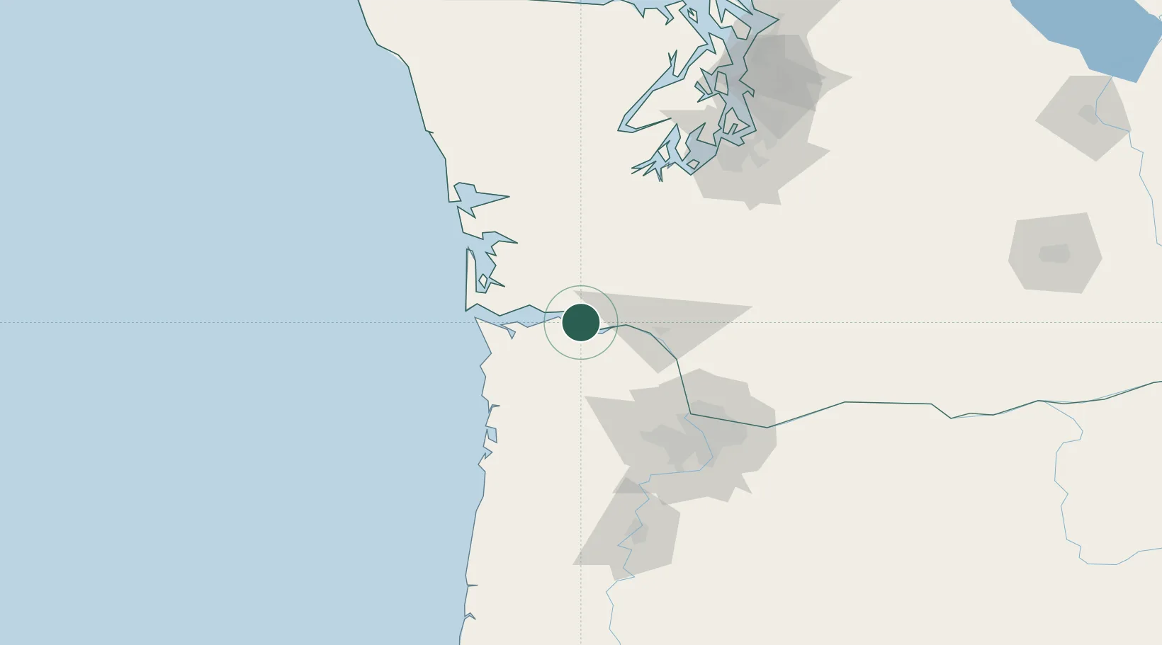
Cathlamet
46.2000°, -123.3833°
532
Population
2
Transport functions
Transport Functions
Road
Multimodal
Hub Profile
Place type
Provincial seat
Region
Washington
Population
532
Time zone
America/Los_Angeles
Elevation
24 m
Location
Nearby Logistics Neighbours
Cities
- 1Bradwood4 km
- 2Wauna Range6 km
- 3Clatskanie18 km
- 4Astoria37 km
- 5Longview37 km
Airports
Trade Zones
- 1FTZ No. 120 Cowlitz County30 km
- 2FTZ No. 255 Washington County73 km
- 3FTZ No. 296 Vancouver82 km
- 4FTZ No. 045 Portland86 km
- 5FTZ No. 216 Olympia100 km
DatabookThe Record of Consolidated Knowledge
United States beyond logistics?