UN/LOCODE hub · United States
USWQU

Wauna Range

46.1500°, -123.4000°
1
Transport functions

Transport Functions

Port
UN/LOCODE

Hub Profile

Region
OR
GeoNames

Location

Location of USWQU
Natural Earth 10m (public domain) · OR · USWQU · 46.15, -123.40GoogleOSMYandex

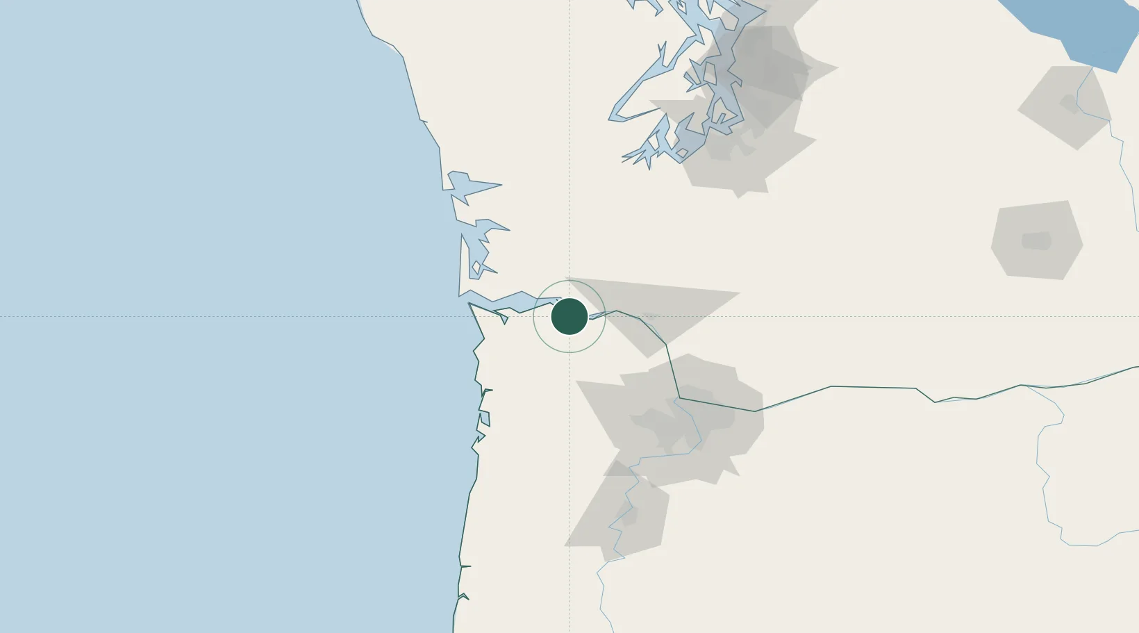
Nearby Logistics Neighbours

Cities
  1. 1Bradwood5 km
  2. 2Cathlamet6 km
  3. 3Clatskanie16 km
  4. 4Astoria36 km
  5. 5Longview37 km
Nearest neighbours — logibook spatial index (haversine) over the source coordinates
Ports
  1. 1Astoria34 km
  2. 2Longview36 km
  3. 3Rainier37 km
  4. 4Warrenton40 km
  5. 5Kalama45 km
Nearest neighbours — logibook spatial index (haversine) over the source coordinates
Airports
  1. 1Astoria Regional Airport37 km
  2. 2Southwest Washington Regional Airport39 km
  3. 3Portland Hillsboro Airport76 km
  4. 4Portland International Airport88 km
  5. 5Olympia Regional Airport99 km
Nearest neighbours — logibook spatial index (haversine) over the source coordinates
Trade Zones
  1. 1FTZ No. 120 Cowlitz County30 km
  2. 2FTZ No. 255 Washington County67 km
  3. 3FTZ No. 296 Vancouver79 km
  4. 4FTZ No. 045 Portland82 km
  5. 5FTZ No. 216 Olympia105 km
Nearest neighbours — logibook spatial index (haversine) over the source coordinates
DatabookThe Record of Consolidated Knowledge
United States beyond logistics?
Browse databook

All Sources

LocationsUN/LOCODE
UN/LOCODE — free
Portsthe NGA World Port Index
Public domain (US gov)
AirportsOurAirports
Public domain
Trade Zonesthe World Bank SEZ database
CC BY 4.0
Trade ZonesOpen Zone Map
CC BY
← United States locations