Transport Functions
Rail
Road
Hub Profile
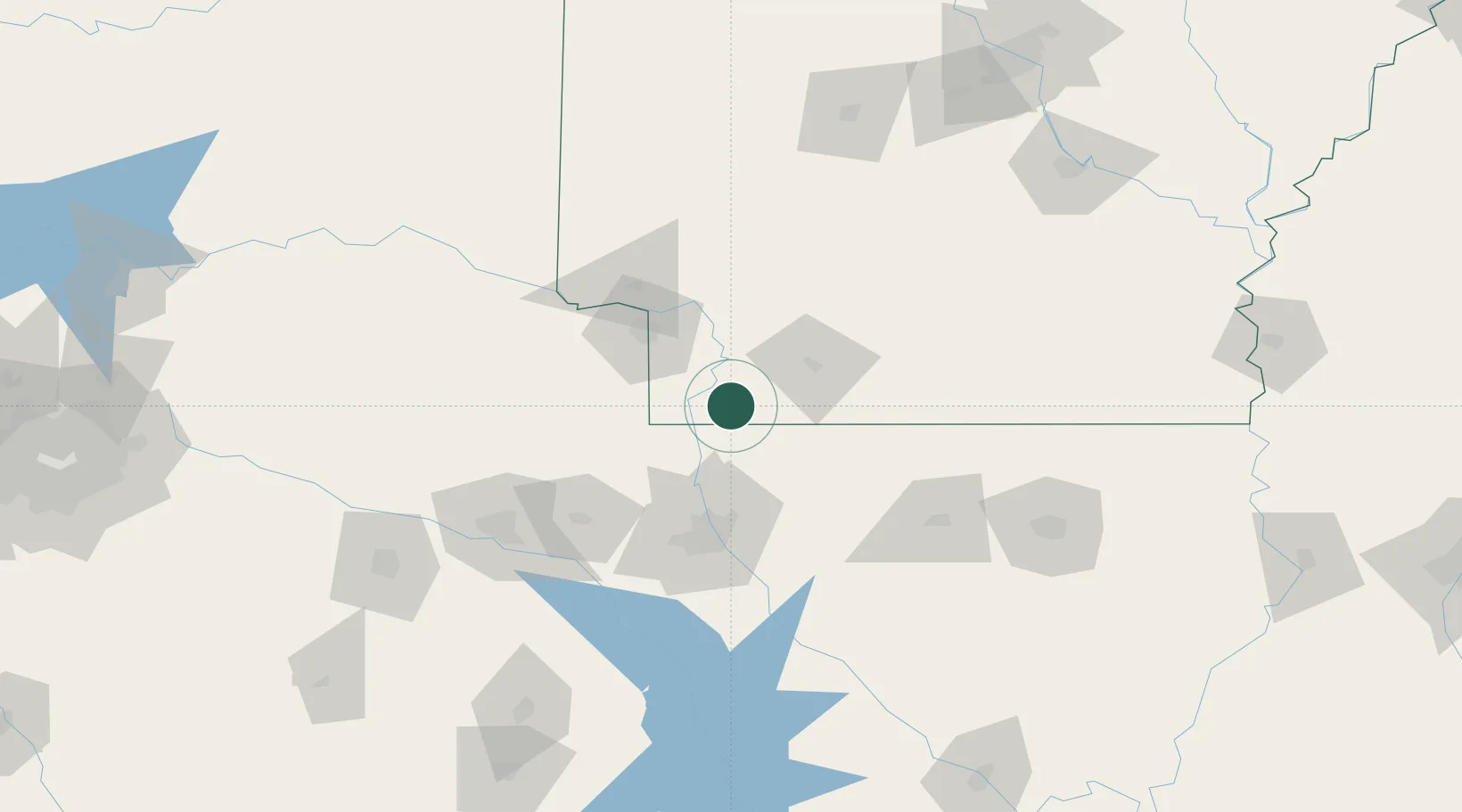
Place type
Populated place
Region
Arkansas
Population
566
Time zone
America/Chicago
Elevation
77 m
Location
Nearby Logistics Neighbours
Cities
- 1Sarepta31 km
- 2Cotton Valley38 km
- 3Benton45 km
- 4Atlanta47 km
- 5Queen City47 km
Ports
- 1Lake Charles323 km
- 2Orange336 km
- 3Beaumont338 km
- 4Port Neches346 km
- 5Port Arthur365 km
Airports
Trade Zones
- 1FTZ No. 145 Shreveport77 km
- 2FTZ No. 146 Lawrence County77 km
- 3FTZ No. 258 Bowie County104 km
- 4FTZ No. 234 Gregg County136 km
- 5FTZ No. 014 Little Rock224 km
DatabookThe Record of Consolidated Knowledge
United States beyond logistics?