Transport Functions
Road
Multimodal
Hub Profile
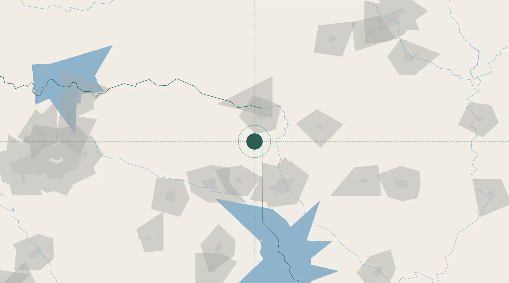
Place type
Populated place
Region
Texas
Population
5,605
Time zone
America/Chicago
Elevation
79 m
Location
Nearby Logistics Neighbours
Cities
- 1Queen City4 km
- 2Panhandle, Cass23 km
- 3Nash39 km
- 4Jefferson43 km
- 5Hooks43 km
Ports
- 1Lake Charles332 km
- 2Beaumont336 km
- 3Orange338 km
- 4Port Neches345 km
- 5Port Arthur364 km
Airports
Trade Zones
- 1FTZ No. 258 Bowie County64 km
- 2FTZ No. 145 Shreveport73 km
- 3FTZ No. 146 Lawrence County73 km
- 4FTZ No. 234 Gregg County97 km
- 5FTZ No. 269 Athens191 km
DatabookThe Record of Consolidated Knowledge
United States beyond logistics?