UN/LOCODE hub · United States
USBN3

Benton

32.7000°, -93.7500°
2,015
Population
2
Transport functions

Transport Functions

Road
Multimodal
UN/LOCODE

Hub Profile

Place type
Provincial seat
GeoNames
Region
Louisiana
GeoNames
Population
2,015
GeoNames
Time zone
America/Chicago
GeoNames
Elevation
63 m
GeoNames

Location

Location of USBN3
Natural Earth 10m (public domain) · Louisiana · USBN3 · 32.70, -93.75GoogleOSMYandex

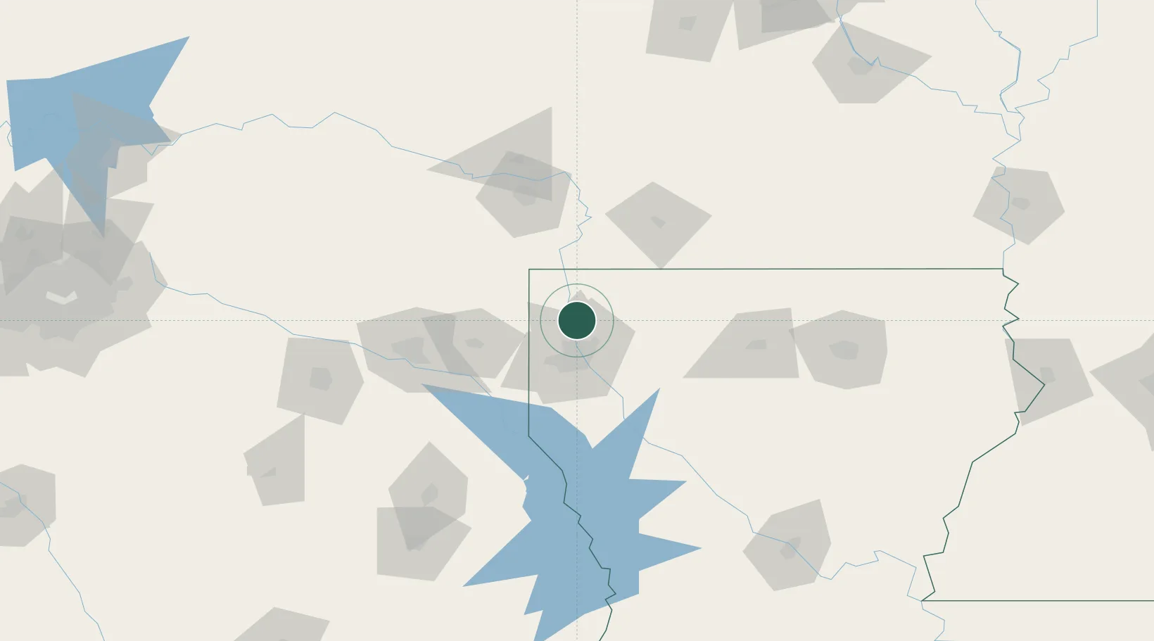
Nearby Logistics Neighbours

Cities
  1. 1Oil City25 km
  2. 2Princeton27 km
  3. 3Haughton30 km
  4. 4Cotton Valley34 km
  5. 5Sarepta35 km
Nearest neighbours — logibook spatial index (haversine) over the source coordinates
Ports
  1. 1Lake Charles280 km
  2. 2Orange291 km
  3. 3Beaumont293 km
  4. 4Port Neches301 km
  5. 5Port Arthur319 km
Nearest neighbours — logibook spatial index (haversine) over the source coordinates
Airports
  1. 1Barksdale Air Force Base24 km
  2. 2Shreveport Regional Airport29 km
  3. 3Texarkana Regional Airport (Webb Field)87 km
  4. 4East Texas Regional Airport97 km
  5. 5South Arkansas Regional Airport at Goodwin Field105 km
Nearest neighbours — logibook spatial index (haversine) over the source coordinates
Trade Zones
  1. 1FTZ No. 145 Shreveport33 km
  2. 2FTZ No. 146 Lawrence County33 km
  3. 3FTZ No. 234 Gregg County112 km
  4. 4FTZ No. 258 Bowie County122 km
  5. 5FTZ No. 297 Lufkin182 km
Nearest neighbours — logibook spatial index (haversine) over the source coordinates
DatabookThe Record of Consolidated Knowledge
United States beyond logistics?
Browse databook

All Sources

LocationsUN/LOCODE
UN/LOCODE — free
LocationsGeoNames
CC BY 4.0
Portsthe NGA World Port Index
Public domain (US gov)
AirportsOurAirports
Public domain
Trade Zonesthe World Bank SEZ database
CC BY 4.0
Trade ZonesOpen Zone Map
CC BY
← United States locations