UN/LOCODE hub · United States
USZQU
Queen City
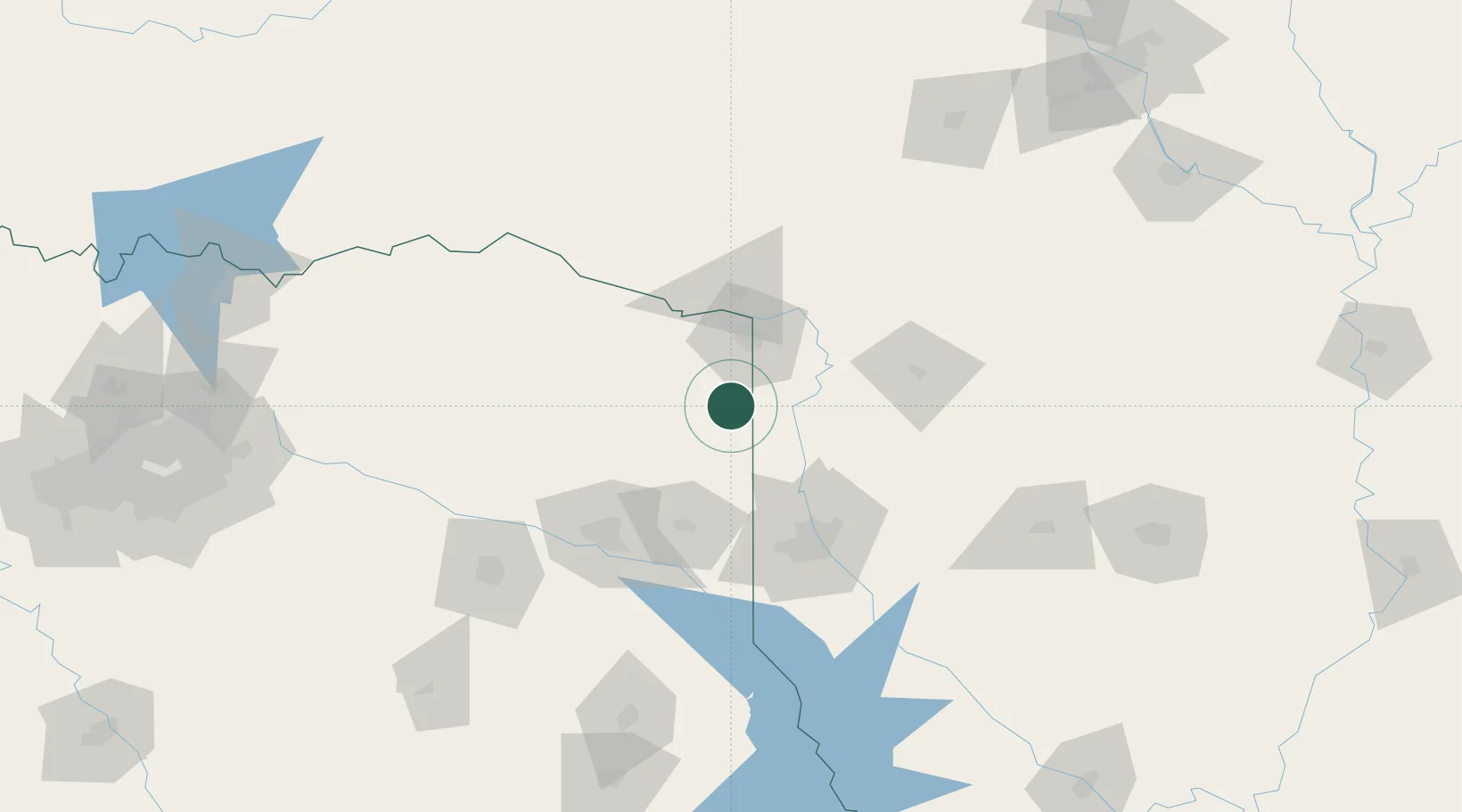
33.1333°, -94.1500°
1,468
Population
4
Transport functions
Transport Functions
Port
Rail
Road
Multimodal
Hub Profile
Place type
Populated place
Region
Texas
Population
1,468
Time zone
America/Chicago
Elevation
109 m
Location
Nearby Logistics Neighbours
Cities
- 1Atlanta4 km
- 2Panhandle, Cass21 km
- 3Nash35 km
- 4Hooks39 km
- 5Jefferson46 km
Ports
- 1Lake Charles335 km
- 2Beaumont339 km
- 3Orange341 km
- 4Port Neches349 km
- 5Port Arthur367 km
Airports
Trade Zones
- 1FTZ No. 258 Bowie County62 km
- 2FTZ No. 145 Shreveport77 km
- 3FTZ No. 146 Lawrence County77 km
- 4FTZ No. 234 Gregg County100 km
- 5FTZ No. 269 Athens193 km
DatabookThe Record of Consolidated Knowledge
United States beyond logistics?