UN/LOCODE hub · United States
USXYS
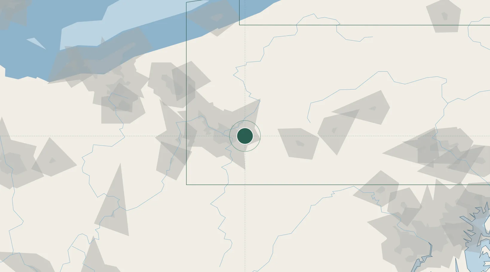
Murrysville
40.4167°, -79.6833°
20,134
Population
4
Transport functions
Transport Functions
Port
Rail
Road
Multimodal
Hub Profile
Place type
Populated place
Region
Pennsylvania
Population
20,134
Time zone
America/New_York
Elevation
276 m
Location
Nearby Logistics Neighbours
Cities
- 1Trafford7 km
- 2Monroeville9 km
- 3Pitcairn9 km
- 4Manor9 km
- 5Delmont10 km
Airports
Trade Zones
- 1FTZ No. 033 Pittsburgh31 km
- 2FTZ No. 295 Central Pennsylvania112 km
- 3FTZ No. 254 Jefferson County138 km
- 4FTZ No. 240 Martinsburg179 km
- 5FTZ No. 181 Akron Canton184 km
DatabookThe Record of Consolidated Knowledge
United States beyond logistics?