Transport Functions
Road
Multimodal
Hub Profile
Place type
Populated place
Region
Pennsylvania
Population
3,299
Time zone
America/New_York
Elevation
285 m
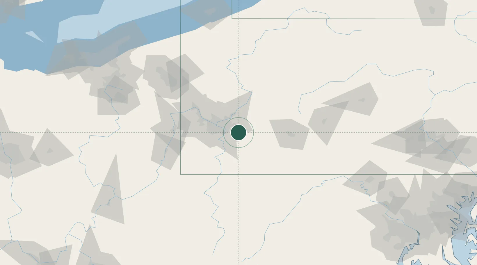
Location
Nearby Logistics Neighbours
Cities
- 1Wendel6 km
- 2Trafford9 km
- 3Murrysville9 km
- 4Delmont11 km
- 5White Oak11 km
Airports
Trade Zones
- 1FTZ No. 033 Pittsburgh34 km
- 2FTZ No. 295 Central Pennsylvania117 km
- 3FTZ No. 254 Jefferson County145 km
- 4FTZ No. 240 Martinsburg172 km
- 5FTZ No. 181 Akron Canton188 km
DatabookThe Record of Consolidated Knowledge
United States beyond logistics?