UN/LOCODE hub · United States
USTFF
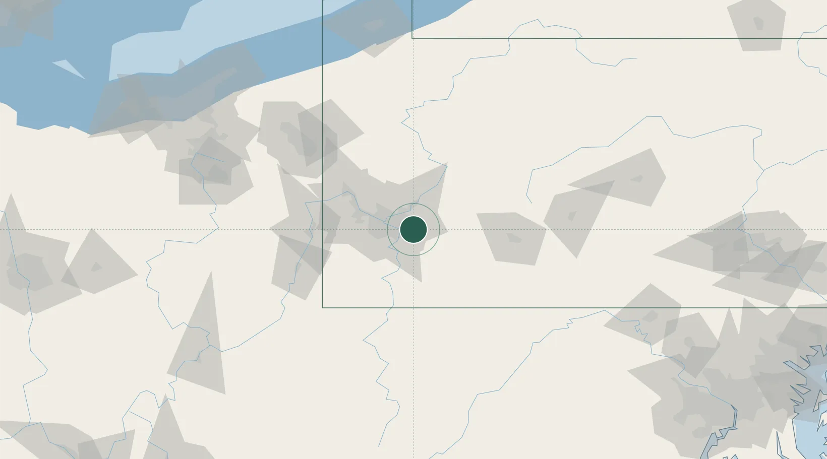
Trafford
40.3833°, -79.7500°
3,144
Population
3
Transport functions
Transport Functions
Rail
Road
Multimodal
Hub Profile
Place type
Populated place
Region
Pennsylvania
Population
3,144
Time zone
America/New_York
Elevation
262 m
Location
Nearby Logistics Neighbours
Cities
- 1Pitcairn3 km
- 2Wilmerding4 km
- 3North Versailles5 km
- 4Monroeville5 km
- 5Turtle Creek6 km
Airports
Trade Zones
- 1FTZ No. 033 Pittsburgh26 km
- 2FTZ No. 295 Central Pennsylvania118 km
- 3FTZ No. 254 Jefferson County144 km
- 4FTZ No. 181 Akron Canton180 km
- 5FTZ No. 240 Martinsburg181 km
DatabookThe Record of Consolidated Knowledge
United States beyond logistics?