UN/LOCODE hub · United States
USHQ4
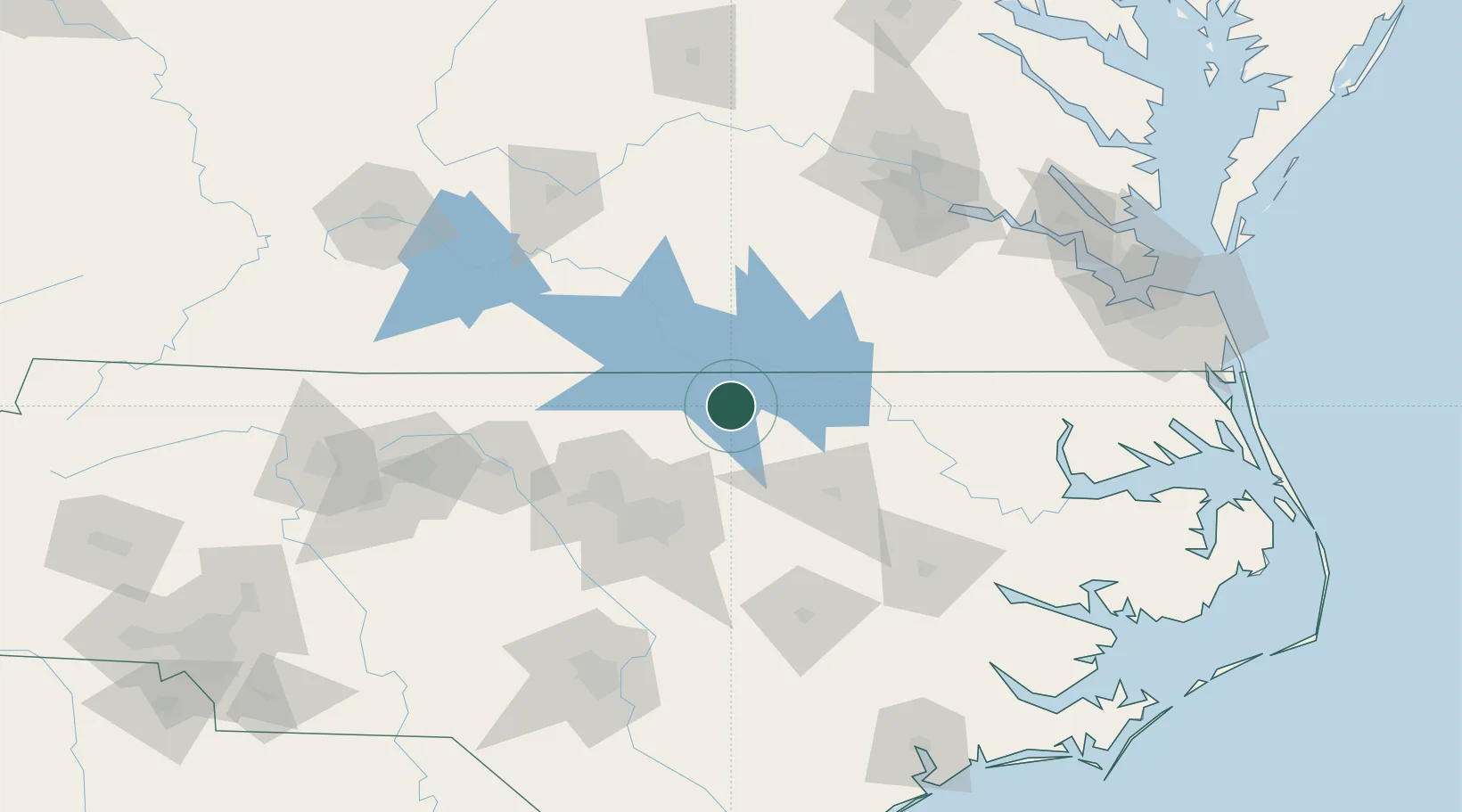
Middleburg
36.3833°, -78.3167°
132
Population
1
Transport functions
Transport Functions
Multimodal
Hub Profile
Place type
Populated place
Region
North Carolina
Population
132
Time zone
America/New_York
Elevation
141 m
Location
Nearby Logistics Neighbours
Cities
- 1La Crosse41 km
- 2Creedmoor44 km
- 3Butner48 km
- 4Salemburg51 km
- 5Rolesville53 km
Ports
- 1Washington147 km
- 2Richmond151 km
- 3Plymouth152 km
- 4Edenton157 km
- 5Hertford167 km
Airports
Trade Zones
- 1FTZ No. 093 Raleigh Durham75 km
- 2FTZ No. 214 Lenoir County135 km
- 3FTZ No. 207 Richmond144 km
- 4FTZ No. 230 Piedmont Triad Area166 km
- 5FTZ No. 020 Suffolk166 km
DatabookThe Record of Consolidated Knowledge
United States beyond logistics?