UN/LOCODE hub · United States
USXLM
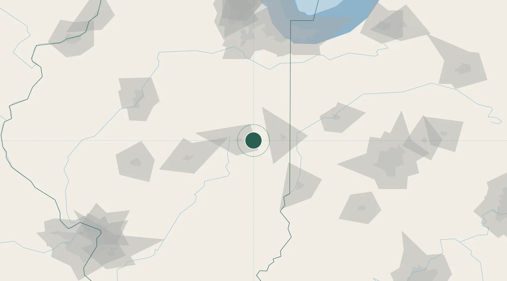
Saint Joseph
40.1000°, -88.0333°
3,967
Population
2
Transport functions
Transport Functions
Rail
Road
Hub Profile
Place type
Populated place
Region
Illinois
Population
3,967
Time zone
America/Chicago
Elevation
205 m
Location
Nearby Logistics Neighbours
Cities
- 1Ogden7 km
- 2Fithian14 km
- 3Thomasboro21 km
- 4Longview24 km
- 5Prospect28 km
Ports
- 1Gary179 km
- 2Indiana Harbor181 km
- 3Calumet Harbor187 km
- 4Chicago202 km
- 5Michigan City205 km
Airports
Trade Zones
- 1FTZ No. 245 Decatur91 km
- 2FTZ No. 114 Peoria148 km
- 3FTZ No. 072 Indianapolis153 km
- 4FTZ No. 152 Burns Harbor185 km
- 5FTZ No. 022 Chicago193 km
DatabookThe Record of Consolidated Knowledge
United States beyond logistics?