UN/LOCODE hub · United States
USTH9
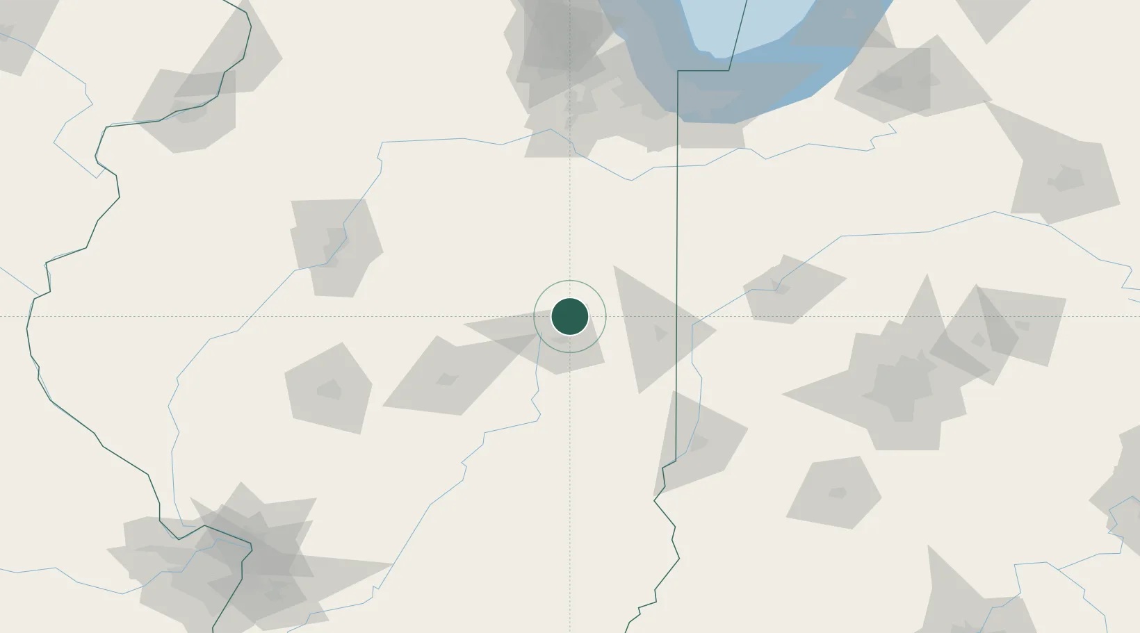
Thomasboro
40.2500°, -88.1833°
1,133
Population
2
Transport functions
Transport Functions
Road
Multimodal
Hub Profile
Place type
Populated place
Region
Illinois
Population
1,133
Time zone
America/Chicago
Elevation
223 m
Location
Nearby Logistics Neighbours
Cities
- 1Prospect8 km
- 2Saint Joseph21 km
- 3Paxton24 km
- 4Ogden26 km
- 5Gibson City27 km
Ports
- 1Gary168 km
- 2Indiana Harbor170 km
- 3Calumet Harbor174 km
- 4Chicago188 km
- 5Michigan City197 km
Airports
Trade Zones
- 1FTZ No. 245 Decatur86 km
- 2FTZ No. 114 Peoria129 km
- 3FTZ No. 072 Indianapolis170 km
- 4FTZ No. 152 Burns Harbor175 km
- 5FTZ No. 022 Chicago178 km
DatabookThe Record of Consolidated Knowledge
United States beyond logistics?