Transport Functions
Rail
Road
Hub Profile
Place type
Populated place
Region
Illinois
Population
471
Time zone
America/Chicago
Elevation
202 m
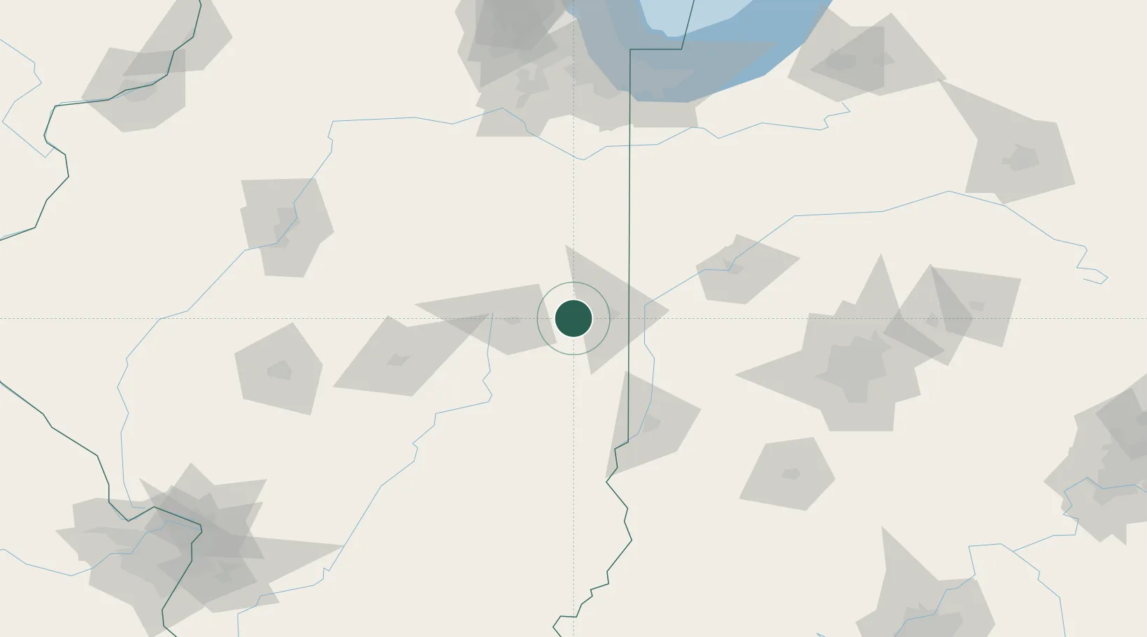
Location
Nearby Logistics Neighbours
Cities
- 1Ogden7 km
- 2Saint Joseph14 km
- 3Tilton19 km
- 4Sidell25 km
- 5Georgetown, Fayette26 km
Ports
- 1Gary173 km
- 2Indiana Harbor176 km
- 3Calumet Harbor182 km
- 4Michigan City197 km
- 5Chicago198 km
Airports
Trade Zones
- 1FTZ No. 245 Decatur106 km
- 2FTZ No. 072 Indianapolis140 km
- 3FTZ No. 114 Peoria159 km
- 4FTZ No. 152 Burns Harbor178 km
- 5FTZ No. 022 Chicago191 km
DatabookThe Record of Consolidated Knowledge
United States beyond logistics?