Transport Functions
Rail
Road
Hub Profile
Place type
Populated place
Region
Illinois
Population
154
Time zone
America/Chicago
Elevation
207 m
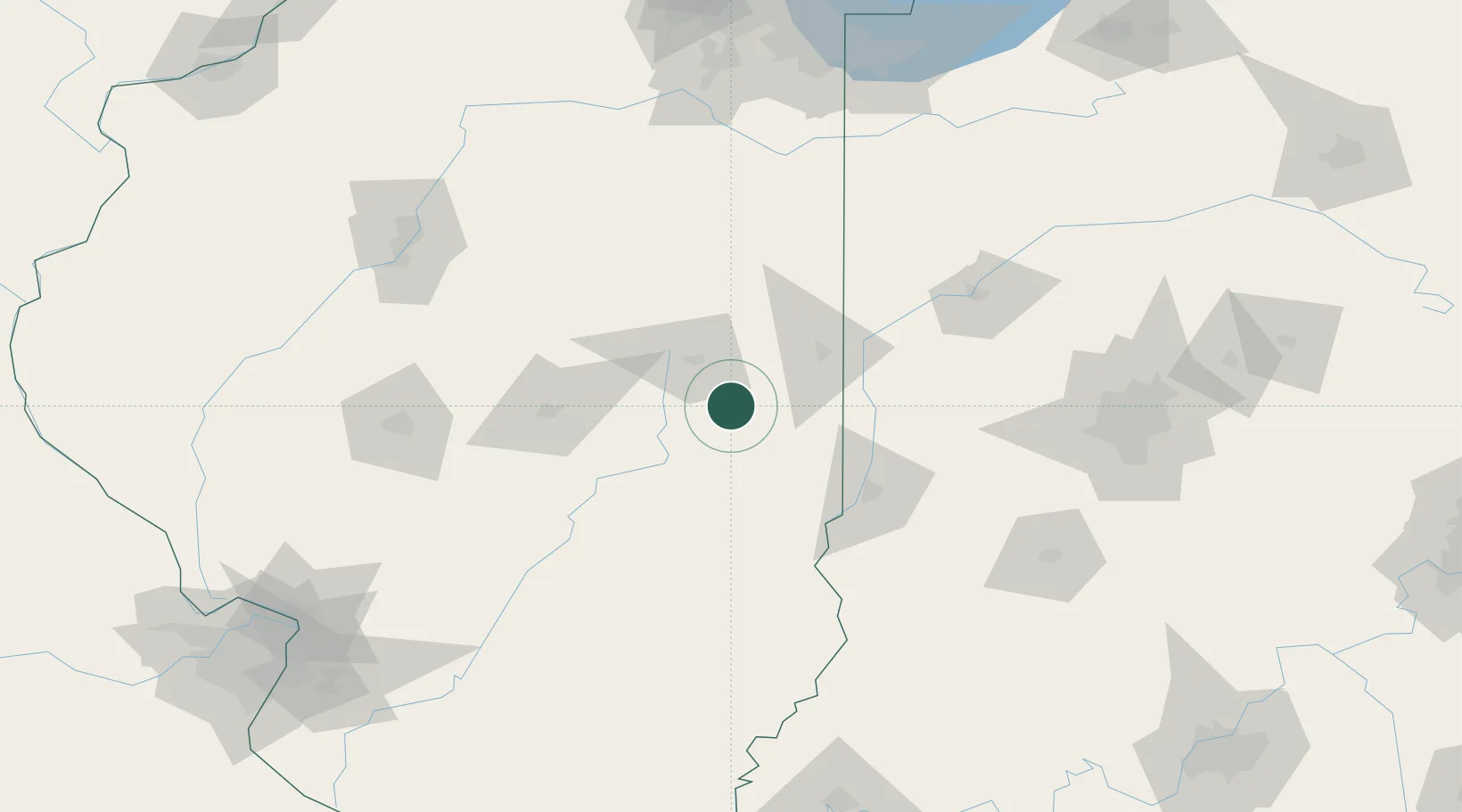
Location
Nearby Logistics Neighbours
Cities
- 1Murdock9 km
- 2Sidell21 km
- 3Saint Joseph24 km
- 4Ogden26 km
- 5Fithian31 km
Ports
- 1Gary202 km
- 2Indiana Harbor205 km
- 3Calumet Harbor211 km
- 4Chicago226 km
- 5Michigan City228 km
Airports
Trade Zones
- 1FTZ No. 245 Decatur85 km
- 2FTZ No. 072 Indianapolis151 km
- 3FTZ No. 114 Peoria158 km
- 4FTZ No. 152 Burns Harbor208 km
- 5FTZ No. 177 Evansville214 km
DatabookThe Record of Consolidated Knowledge
United States beyond logistics?