Transport Functions
Multimodal
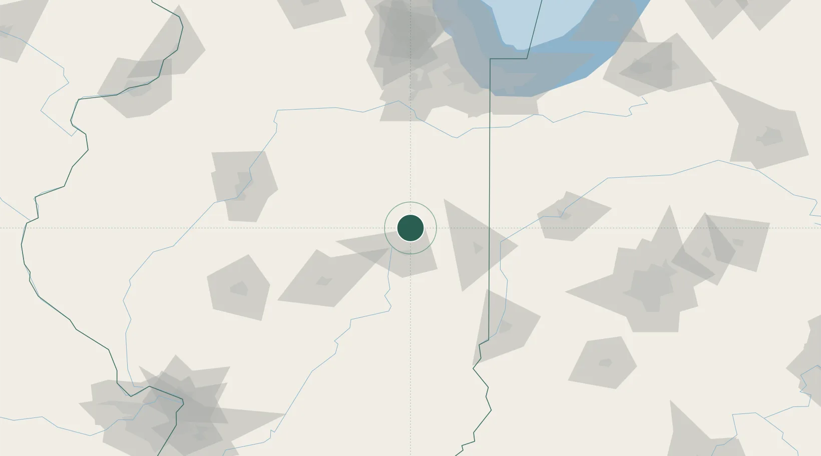
Hub Profile
Place type
Populated place
Region
Illinois
Time zone
America/Chicago
Elevation
220 m
Location
Nearby Logistics Neighbours
Cities
- 1Thomasboro8 km
- 2Paxton18 km
- 3Gibson City21 km
- 4Saint Joseph28 km
- 5Ogden32 km
Ports
- 1Gary162 km
- 2Indiana Harbor163 km
- 3Calumet Harbor168 km
- 4Chicago181 km
- 5Michigan City192 km
Airports
Trade Zones
- 1FTZ No. 245 Decatur89 km
- 2FTZ No. 114 Peoria125 km
- 3FTZ No. 152 Burns Harbor170 km
- 4FTZ No. 022 Chicago171 km
- 5FTZ No. 072 Indianapolis174 km
DatabookThe Record of Consolidated Knowledge
United States beyond logistics?