UN/LOCODE hub · United States
USHT6
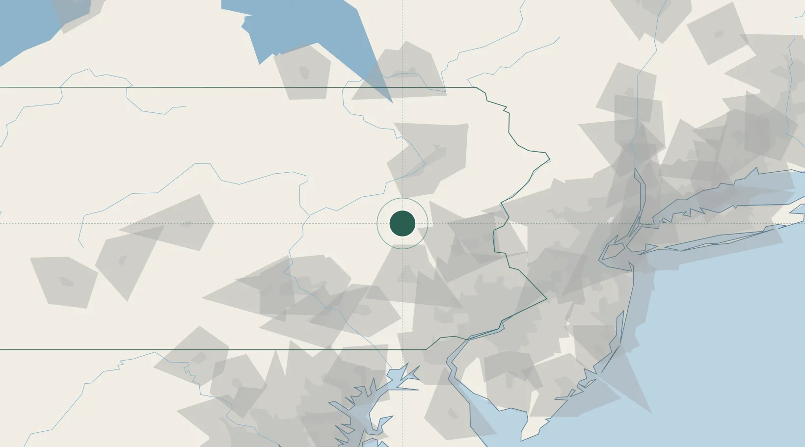
Hometown
40.8167°, -75.9833°
1,349
Population
2
Transport functions
Transport Functions
Rail
Road
Hub Profile
Place type
Populated place
Region
Pennsylvania
Population
1,349
Time zone
America/New_York
Elevation
344 m
Location
Nearby Logistics Neighbours
Cities
- 1Barnesville6 km
- 2West Hazelton17 km
- 3Mahanoy City18 km
- 4Tomhicken19 km
- 5Ringtown20 km
Ports
- 1Chester120 km
- 2Philadelphia120 km
- 3Camden120 km
- 4Marcus Hook121 km
- 5Trenton124 km
Airports
Trade Zones
DatabookThe Record of Consolidated Knowledge
United States beyond logistics?