UN/LOCODE hub · United States
USWNU
Walnutport
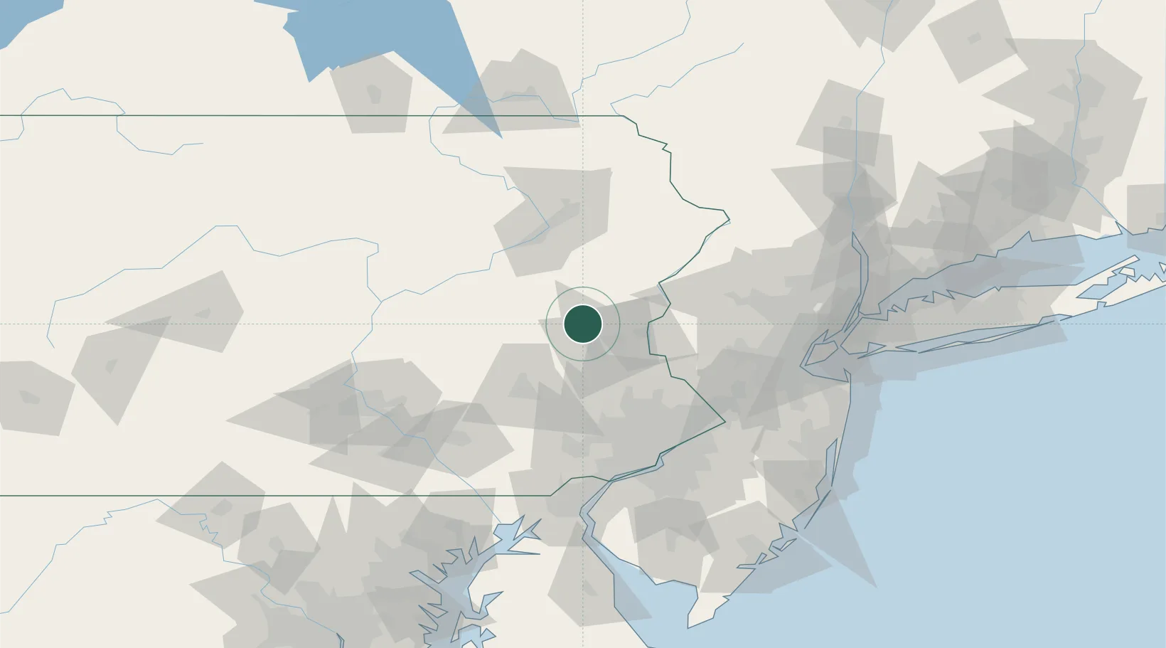
40.7500°, -75.5833°
2,061
Population
3
Transport functions
Transport Functions
Rail
Road
Multimodal
Hub Profile
Place type
Populated place
Region
Pennsylvania
Population
2,061
Time zone
America/New_York
Elevation
116 m
Location
Nearby Logistics Neighbours
Cities
- 1Northampton11 km
- 2East Penn13 km
- 3Lehighton15 km
- 4Kunkletown16 km
- 5New Tripoli17 km
Ports
- 1Trenton92 km
- 2Bristol95 km
- 3Burlington96 km
- 4Philadelphia97 km
- 5Camden97 km
Airports
Trade Zones
DatabookThe Record of Consolidated Knowledge
United States beyond logistics?