UN/LOCODE hub · United States
USLHG
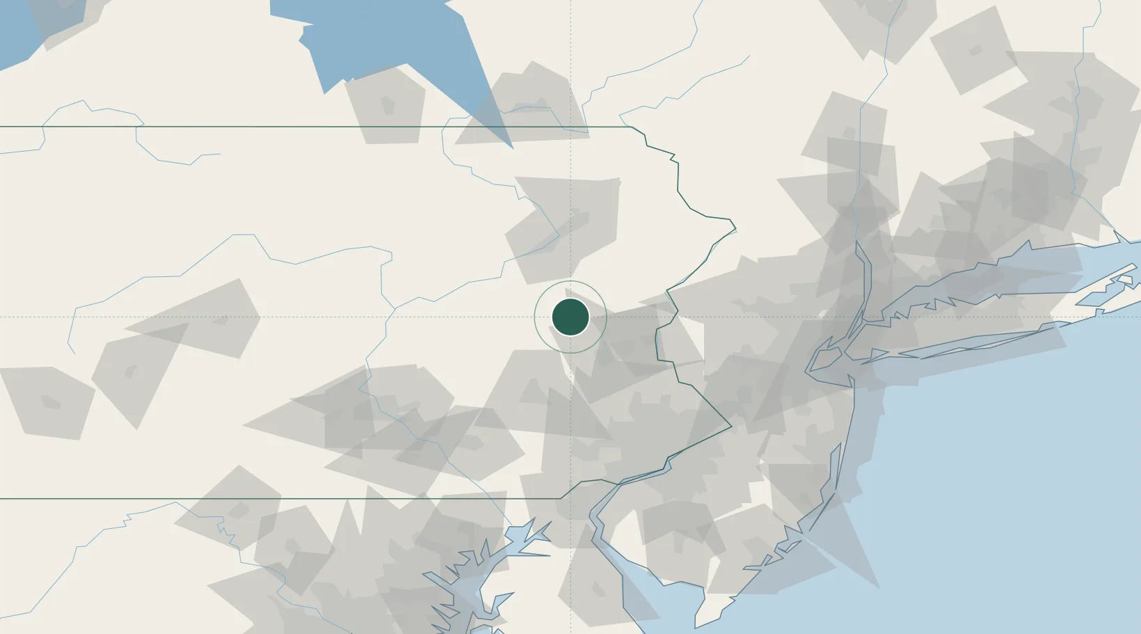
Lehighton
40.8333°, -75.7167°
5,314
Population
3
Transport functions
Transport Functions
Rail
Road
Multimodal
Hub Profile
Place type
Populated place
Region
Pennsylvania
Population
5,314
Time zone
America/New_York
Elevation
174 m
Location
Nearby Logistics Neighbours
Cities
- 1East Penn8 km
- 2Walnutport15 km
- 3New Tripoli19 km
- 4Hometown23 km
- 5Freeland23 km
Ports
- 1Trenton107 km
- 2Bristol110 km
- 3Philadelphia110 km
- 4Camden110 km
- 5Burlington110 km
Airports
Trade Zones
DatabookThe Record of Consolidated Knowledge
United States beyond logistics?