Transport Functions
Multimodal
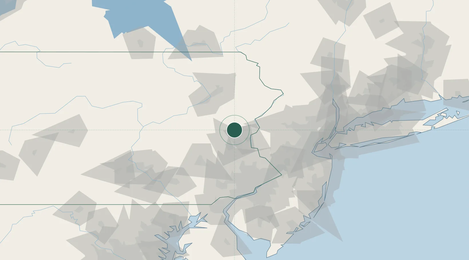
Hub Profile
Place type
Populated place
Region
Pennsylvania
Time zone
America/New_York
Elevation
161 m
Location
Nearby Logistics Neighbours
Cities
- 1Effort11 km
- 2Walnutport16 km
- 3Pen Argyl16 km
- 4Northampton17 km
- 5Jackson19 km
Ports
- 1Trenton90 km
- 2Bristol95 km
- 3Burlington96 km
- 4Sayreville99 km
- 5Philadelphia102 km
Airports
Trade Zones
DatabookThe Record of Consolidated Knowledge
United States beyond logistics?