UN/LOCODE hub · United States
USEP5

East Penn

40.7667°, -75.7333°
2
Transport functions

Transport Functions

Road
Multimodal
UN/LOCODE

Hub Profile

Region
PA
GeoNames

Location

Location of USEP5
Natural Earth 10m (public domain) · PA · USEP5 · 40.77, -75.73GoogleOSMYandex

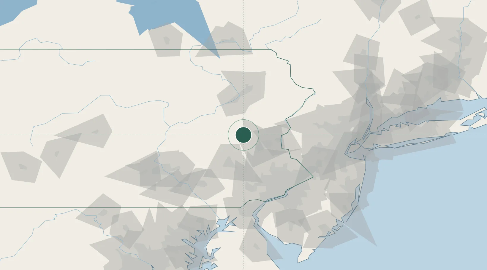
Nearby Logistics Neighbours

Cities
  1. 1Lehighton8 km
  2. 2New Tripoli11 km
  3. 3Walnutport13 km
  4. 4Hometown22 km
  5. 5Northampton23 km
Nearest neighbours — logibook spatial index (haversine) over the source coordinates
Ports
  1. 1Trenton103 km
  2. 2Philadelphia104 km
  3. 3Camden104 km
  4. 4Bristol105 km
  5. 5Burlington106 km
Nearest neighbours — logibook spatial index (haversine) over the source coordinates
Trade Zones
  1. 1FTZ No. 272 Counties of Lehigh and Northampton8 km
  2. 2FTZ No. 147 Berks County60 km
  3. 3FTZ No. 024 Pittston63 km
  4. 4FTZ No. 044 Morris County75 km
  5. 5FTZ No. 200 Mercer County92 km
Nearest neighbours — logibook spatial index (haversine) over the source coordinates
DatabookThe Record of Consolidated Knowledge
United States beyond logistics?
Browse databook

All Sources

LocationsUN/LOCODE
UN/LOCODE — free
Portsthe NGA World Port Index
Public domain (US gov)
AirportsOurAirports
Public domain
Trade Zonesthe World Bank SEZ database
CC BY 4.0
Trade ZonesOpen Zone Map
CC BY
← United States locations