UN/LOCODE hub · United States
USN5T
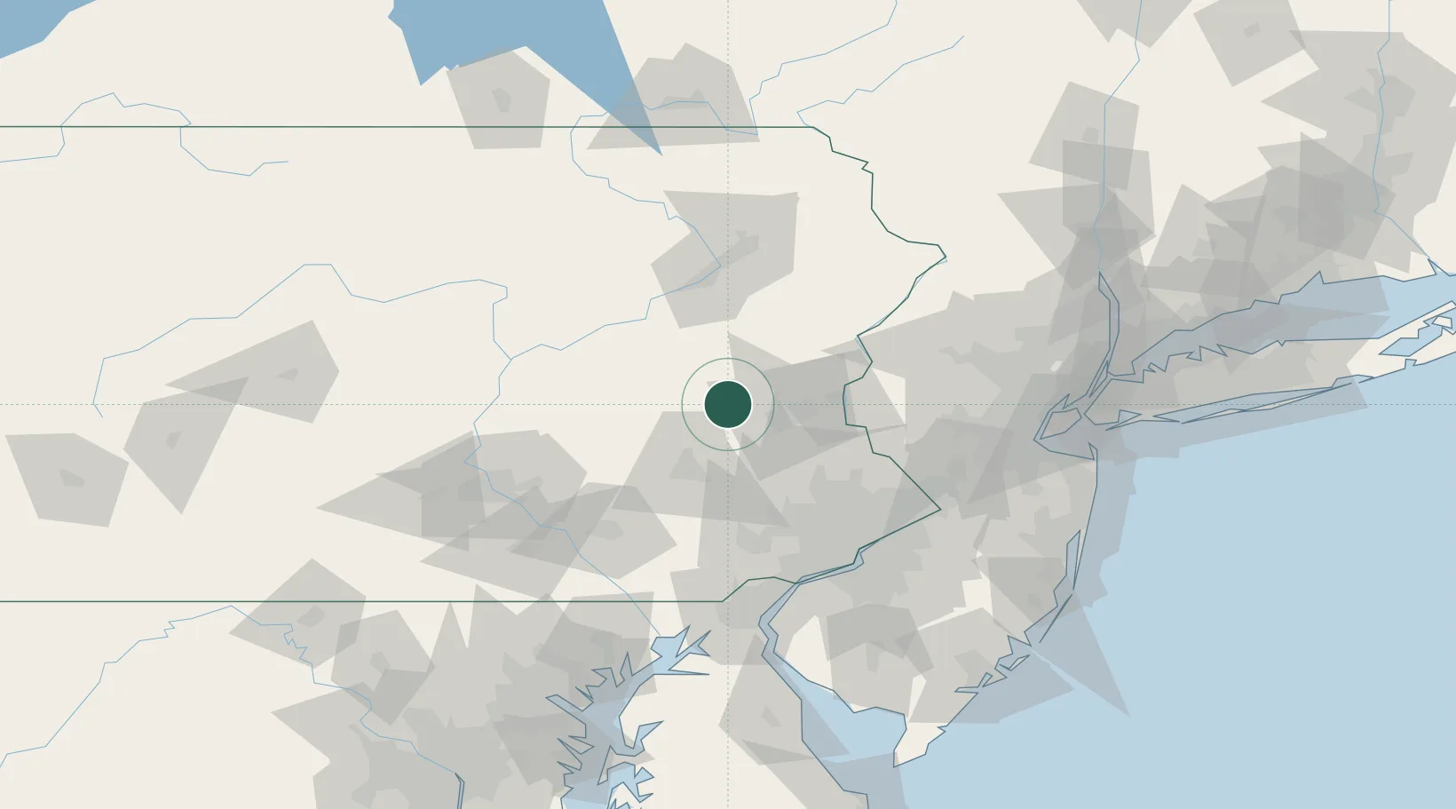
New Tripoli
40.6667°, -75.7500°
898
Population
2
Transport functions
Transport Functions
Port
Road
Hub Profile
Place type
Populated place
Region
Pennsylvania
Population
898
Time zone
America/New_York
Elevation
177 m
Location
Nearby Logistics Neighbours
Cities
- 1East Penn11 km
- 2Walnutport17 km
- 3Lehighton19 km
- 4Northampton23 km
- 5Hamburg23 km
Ports
- 1Philadelphia95 km
- 2Camden95 km
- 3Chester97 km
- 4Trenton98 km
- 5Marcus Hook99 km
Airports
Trade Zones
DatabookThe Record of Consolidated Knowledge
United States beyond logistics?