UN/LOCODE hub · United States
USQNH
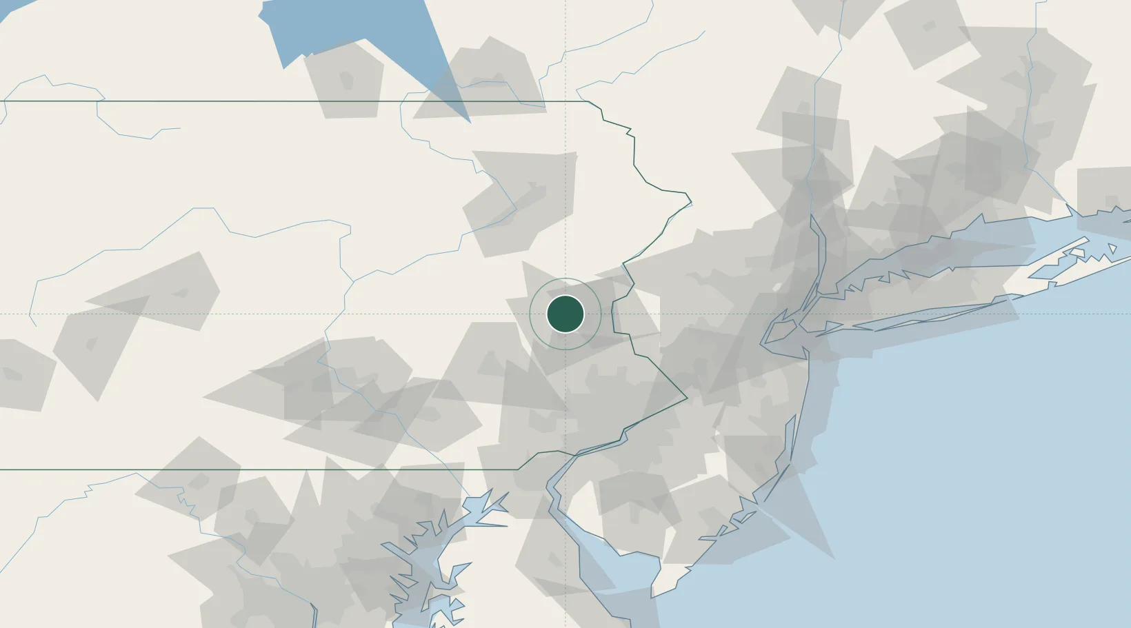
Northampton
40.6833°, -75.4833°
9,860
Population
3
Transport functions
Transport Functions
Rail
Road
Multimodal
Hub Profile
Place type
Populated place
Region
Pennsylvania
Population
9,860
Time zone
America/New_York
Elevation
99 m
Location
Nearby Logistics Neighbours
Cities
- 1Walnutport11 km
- 2Bethlehem15 km
- 3Kunkletown17 km
- 4Center Valley18 km
- 5New Tripoli23 km
Ports
- 1Trenton81 km
- 2Bristol84 km
- 3Burlington85 km
- 4Philadelphia87 km
- 5Camden87 km
Airports
Trade Zones
DatabookThe Record of Consolidated Knowledge
United States beyond logistics?