UN/LOCODE hub · United States
USUWC

Uwchland

40.0667°, -75.6833°
3
Transport functions

Transport Functions

Port
Road
Multimodal
UN/LOCODE

Hub Profile

Region
PA
GeoNames

Location

Location of USUWC
Natural Earth 10m (public domain) · PA · USUWC · 40.07, -75.68GoogleOSMYandex

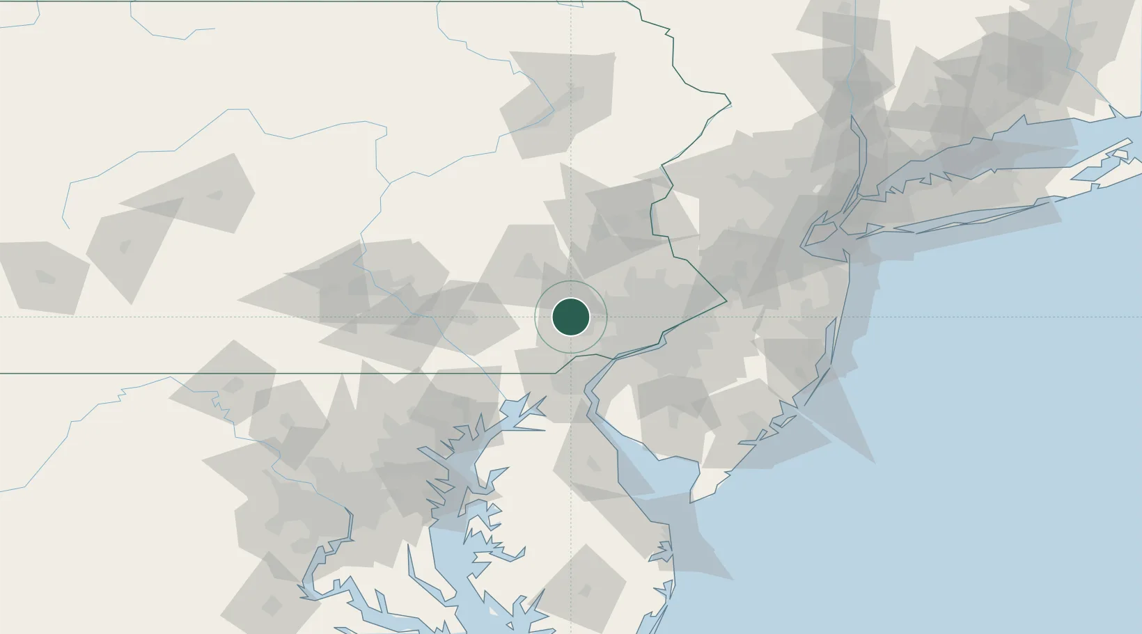
Nearby Logistics Neighbours

Cities
  1. 1Eagle0 km
  2. 2Glenmoore7 km
  3. 3Elverson15 km
  4. 4Vincentown16 km
  5. 5Parker Ford17 km
Nearest neighbours — logibook spatial index (haversine) over the source coordinates
Ports
  1. 1Marcus Hook36 km
  2. 2Chester37 km
  3. 3Wilmington39 km
  4. 4Deepwater Point43 km
  5. 5Paulsboro44 km
Nearest neighbours — logibook spatial index (haversine) over the source coordinates
Airports
  1. 1Reading Regional Airport (Carl A Spaatz Field)42 km
  2. 2Philadelphia International Airport44 km
  3. 3Wilmington Airport44 km
  4. 4Lancaster Airport53 km
  5. 5Northeast Philadelphia Airport57 km
Nearest neighbours — logibook spatial index (haversine) over the source coordinates
Trade Zones
  1. 1FTZ No. 035 Philadelphia37 km
  2. 2FTZ No. 099 Wilmington38 km
  3. 3FTZ No. 147 Berks County62 km
  4. 4FTZ No. 272 Counties of Lehigh and Northampton70 km
  5. 5FTZ No. 200 Mercer County75 km
Nearest neighbours — logibook spatial index (haversine) over the source coordinates
DatabookThe Record of Consolidated Knowledge
United States beyond logistics?
Browse databook

All Sources

LocationsUN/LOCODE
UN/LOCODE — free
Portsthe NGA World Port Index
Public domain (US gov)
AirportsOurAirports
Public domain
Trade Zonesthe World Bank SEZ database
CC BY 4.0
Trade ZonesOpen Zone Map
CC BY
← United States locations