Transport Functions
Road
Multimodal
Hub Profile
Place type
Populated place
Region
Pennsylvania
Time zone
America/New_York
Elevation
136 m
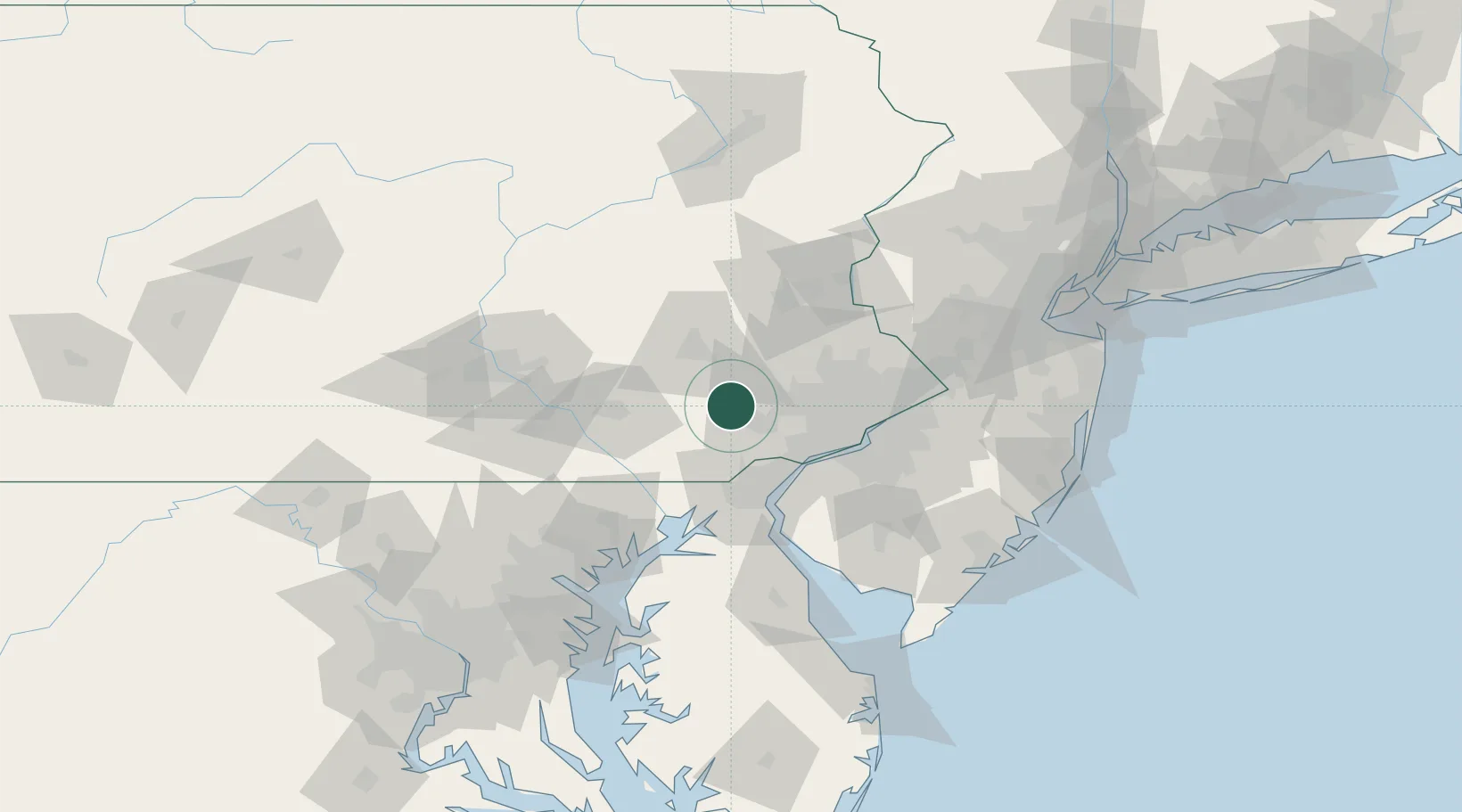
Location
Nearby Logistics Neighbours
Cities
- 1Eagle7 km
- 2Uwchland7 km
- 3Elverson9 km
- 4Vincentown17 km
- 5Pomeroy18 km
Ports
- 1Marcus Hook42 km
- 2Wilmington43 km
- 3Chester44 km
- 4Deepwater Point48 km
- 5Paulsboro51 km
Airports
Trade Zones
DatabookThe Record of Consolidated Knowledge
United States beyond logistics?