UN/LOCODE hub · United States
USEVO
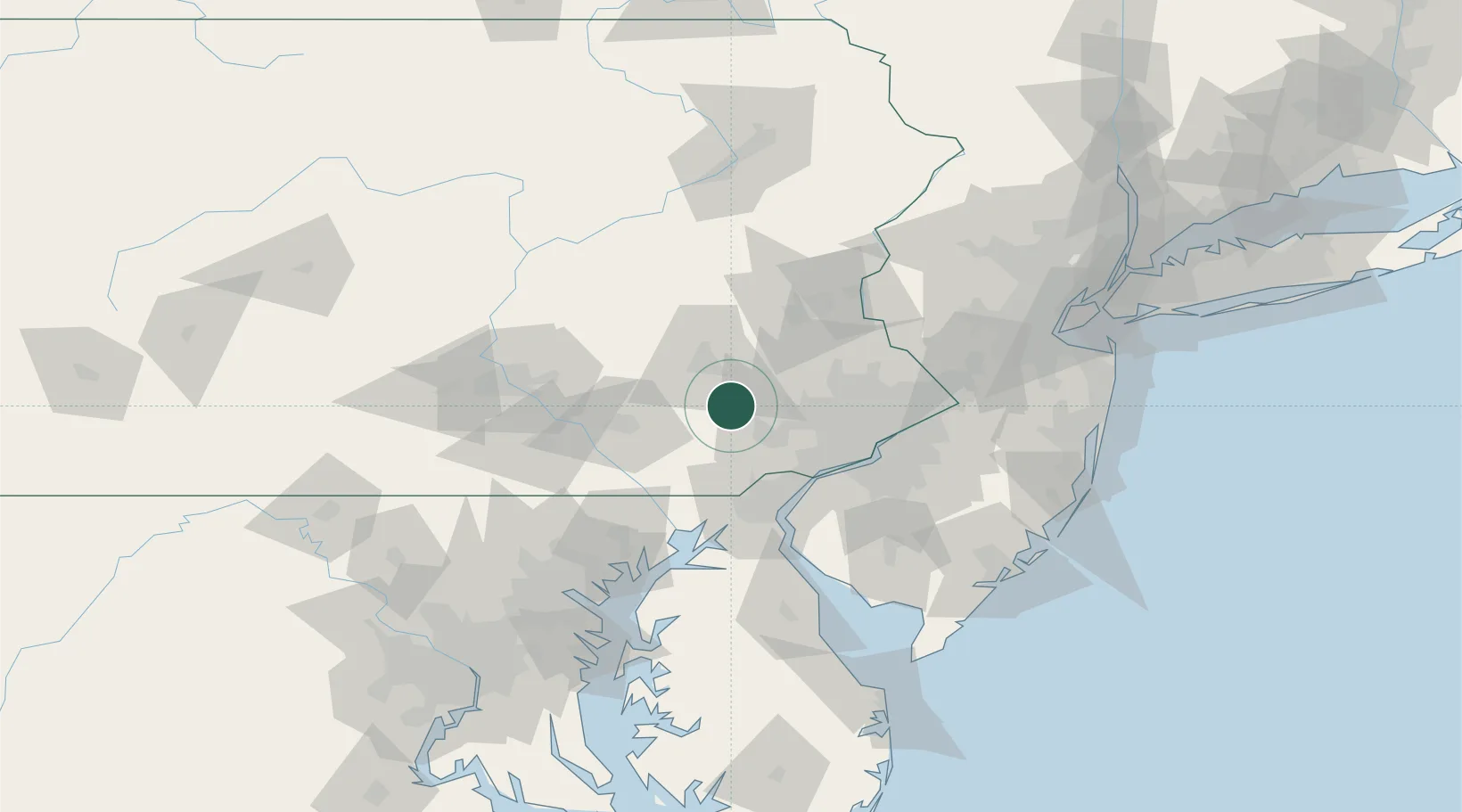
Elverson
40.1500°, -75.8167°
1,314
Population
3
Transport functions
Transport Functions
Rail
Road
Multimodal
Hub Profile
Place type
Populated place
Region
Pennsylvania
Population
1,314
Time zone
America/New_York
Elevation
205 m
Location
Nearby Logistics Neighbours
Ports
- 1Marcus Hook50 km
- 2Wilmington52 km
- 3Chester52 km
- 4Deepwater Point56 km
- 5Paulsboro59 km
Airports
Trade Zones
DatabookThe Record of Consolidated Knowledge
United States beyond logistics?