Transport Functions
Road
Multimodal
Hub Profile
Place type
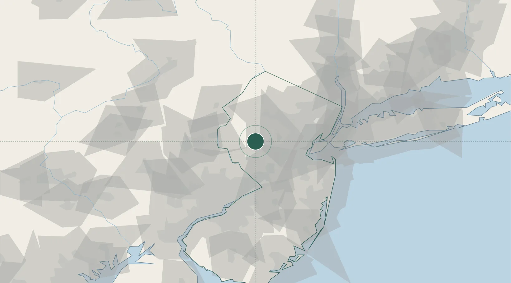
Populated place
Region
New Jersey
Time zone
America/New_York
Elevation
82 m
Location
Nearby Logistics Neighbours
Cities
- 1Whitehouse6 km
- 2Far Hills15 km
- 3East Millstone18 km
- 4Port Murray19 km
- 5Monroe19 km
Ports
- 1Sayreville41 km
- 2Sewaren47 km
- 3Perth Amboy47 km
- 4South Amboy48 km
- 5Trenton48 km
Airports
Trade Zones
DatabookThe Record of Consolidated Knowledge
United States beyond logistics?