UN/LOCODE hub · United States
USNNC
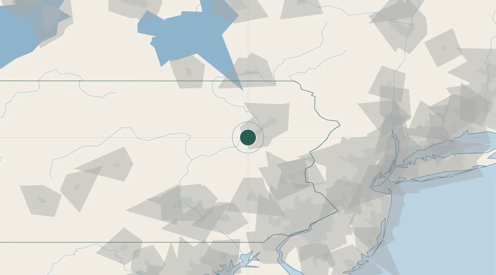
Nanticoke
41.2000°, -76.0000°
10,258
Population
2
Transport functions
Transport Functions
Road
Multimodal
Hub Profile
Place type
Populated place
Region
Pennsylvania
Population
10,258
Time zone
America/New_York
Elevation
173 m
Location
Nearby Logistics Neighbours
Cities
- 1Ashley9 km
- 2Hanover Township, Luzerne11 km
- 3Wilkes-Barre12 km
- 4Drums20 km
- 5West Pittston22 km
Ports
- 1Trenton152 km
- 2Bristol156 km
- 3Burlington157 km
- 4Philadelphia157 km
- 5Camden157 km
Airports
Trade Zones
DatabookThe Record of Consolidated Knowledge
United States beyond logistics?