UN/LOCODE hub · United States
USEA9
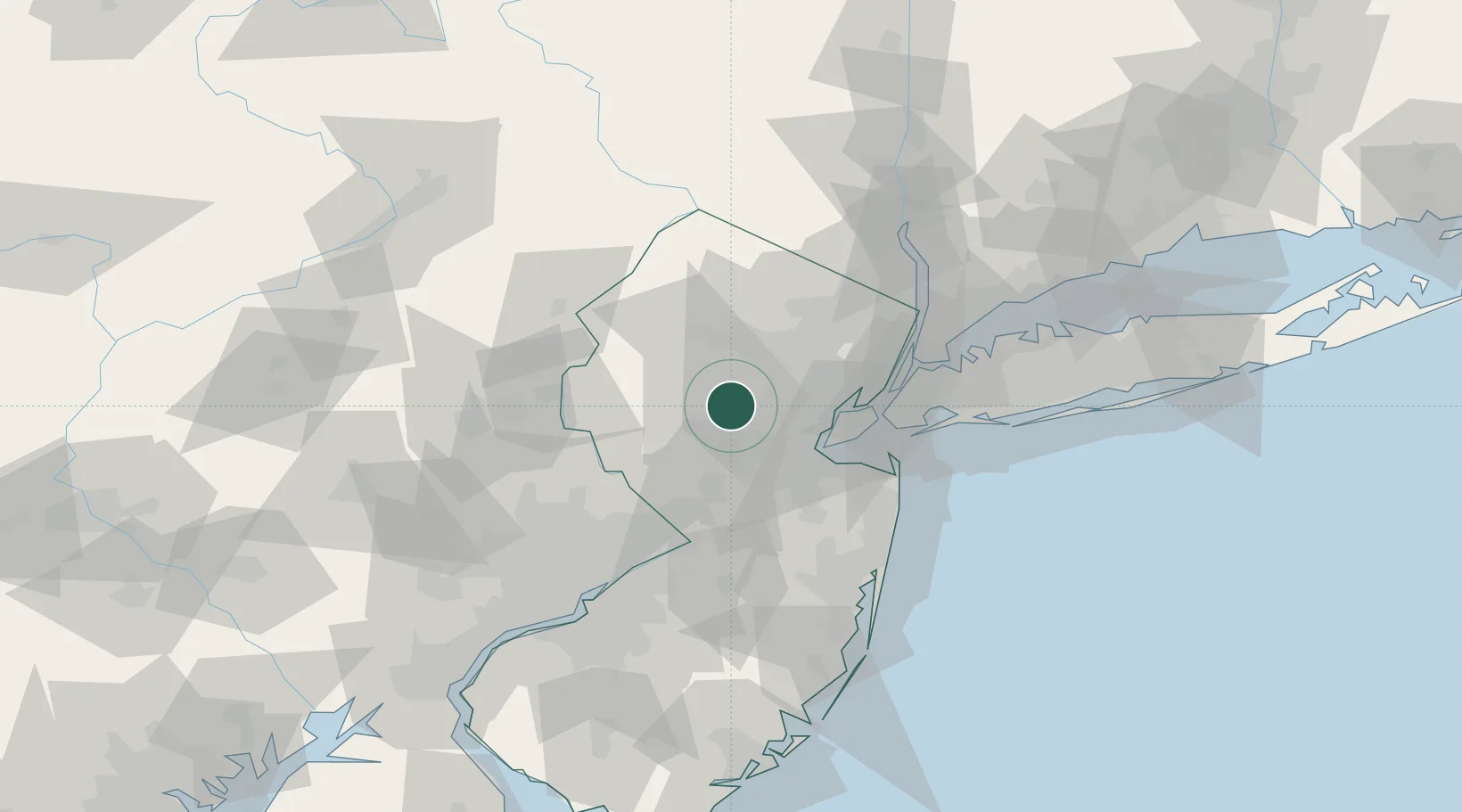
East Millstone
40.6500°, -74.5833°
579
Population
2
Transport functions
Transport Functions
Road
Multimodal
Hub Profile
Place type
Populated place
Region
New Jersey
Population
579
Time zone
America/New_York
Elevation
18 m
Location
Nearby Logistics Neighbours
Cities
- 1Far Hills6 km
- 2Stirling7 km
- 3Warrenville10 km
- 4Monroe12 km
- 5Green Brook12 km
Ports
- 1Sayreville27 km
- 2Sewaren30 km
- 3Port Reading31 km
- 4Perth Amboy32 km
- 5Carteret32 km
Airports
Trade Zones
DatabookThe Record of Consolidated Knowledge
United States beyond logistics?