Transport Functions
Rail
Road
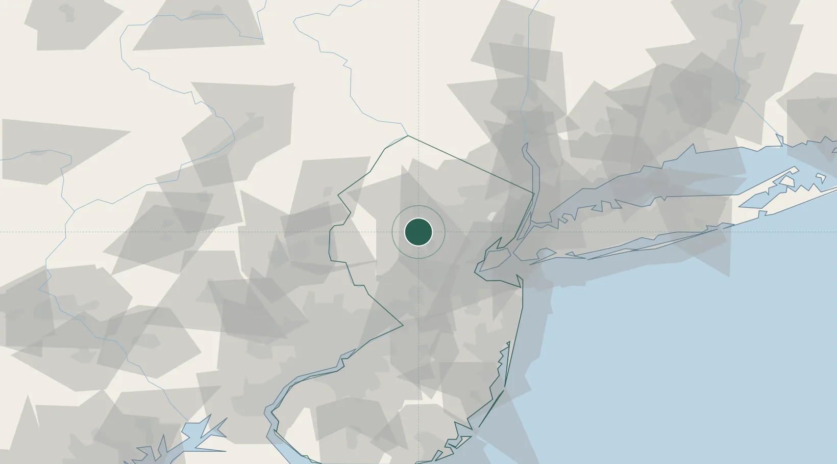
Hub Profile
Place type
Populated place
Region
New Jersey
Time zone
America/New_York
Elevation
82 m
Location
Nearby Logistics Neighbours
Cities
- 1Mendham3 km
- 2Far Hills7 km
- 3East Millstone12 km
- 4New Vernon13 km
- 5Stirling15 km
Ports
- 1Sayreville39 km
- 2Bayway39 km
- 3Sewaren39 km
- 4Port Reading39 km
- 5Elizabethport40 km
Airports
Trade Zones
DatabookThe Record of Consolidated Knowledge
United States beyond logistics?