Transport Functions
Port
Road
Hub Profile
Place type
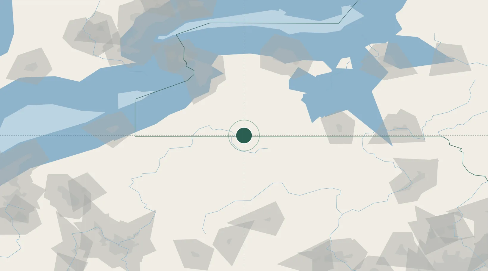
Populated place
Region
New York
Time zone
America/New_York
Elevation
473 m
Location
Nearby Logistics Neighbours
Ports
- 1Dunkirk107 km
- 2Buffalo112 km
- 3Tonawanda126 km
- 4Port Colborne129 km
- 5Welland139 km
Airports
Trade Zones
- 1FTZ No. 254 Jefferson County79 km
- 2FTZ No. 289 Ontario County102 km
- 3FTZ No. 295 Central Pennsylvania110 km
- 4FTZ No. 023 Buffalo110 km
- 5Niagara Foreign Trade Zone138 km
DatabookThe Record of Consolidated Knowledge
United States beyond logistics?