Transport Functions
Port
Multimodal
Hub Profile
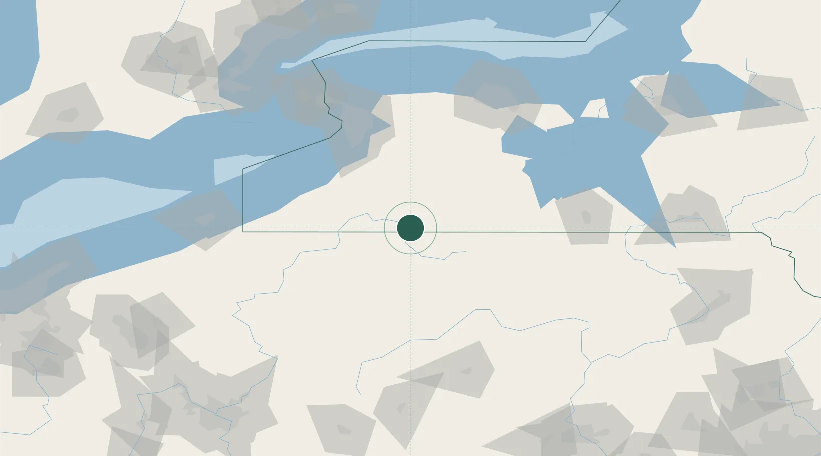
Place type
Populated place
Region
New York
Population
978
Time zone
America/New_York
Elevation
436 m
Location
Nearby Logistics Neighbours
Cities
- 1Little Genesee11 km
- 2Cuba21 km
- 3Vandalia21 km
- 4Smethport27 km
- 5Mckean30 km
Ports
- 1Dunkirk96 km
- 2Buffalo105 km
- 3Tonawanda120 km
- 4Port Colborne121 km
- 5Welland131 km
Airports
Trade Zones
- 1FTZ No. 254 Jefferson County75 km
- 2FTZ No. 023 Buffalo104 km
- 3FTZ No. 289 Ontario County107 km
- 4FTZ No. 295 Central Pennsylvania108 km
- 5Niagara Foreign Trade Zone132 km
DatabookThe Record of Consolidated Knowledge
United States beyond logistics?