Transport Functions
Rail
Road
Hub Profile
Place type
Populated place
Region
Pennsylvania
Population
1,716
Time zone
America/New_York
Elevation
229 m
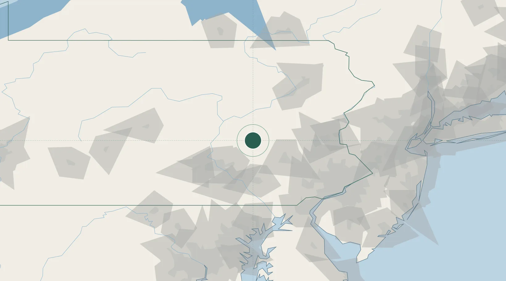
Location
Nearby Logistics Neighbours
Cities
- 1Mabel12 km
- 2Marlin14 km
- 3Mount Carmel19 km
- 4Port Carbon20 km
- 5Saint Clair20 km
Ports
- 1Marcus Hook121 km
- 2Wilmington121 km
- 3Chester122 km
- 4Havre De Grace123 km
- 5Deepwater Point126 km
Airports
Trade Zones
DatabookThe Record of Consolidated Knowledge
United States beyond logistics?