UN/LOCODE hub · United States
USP5C
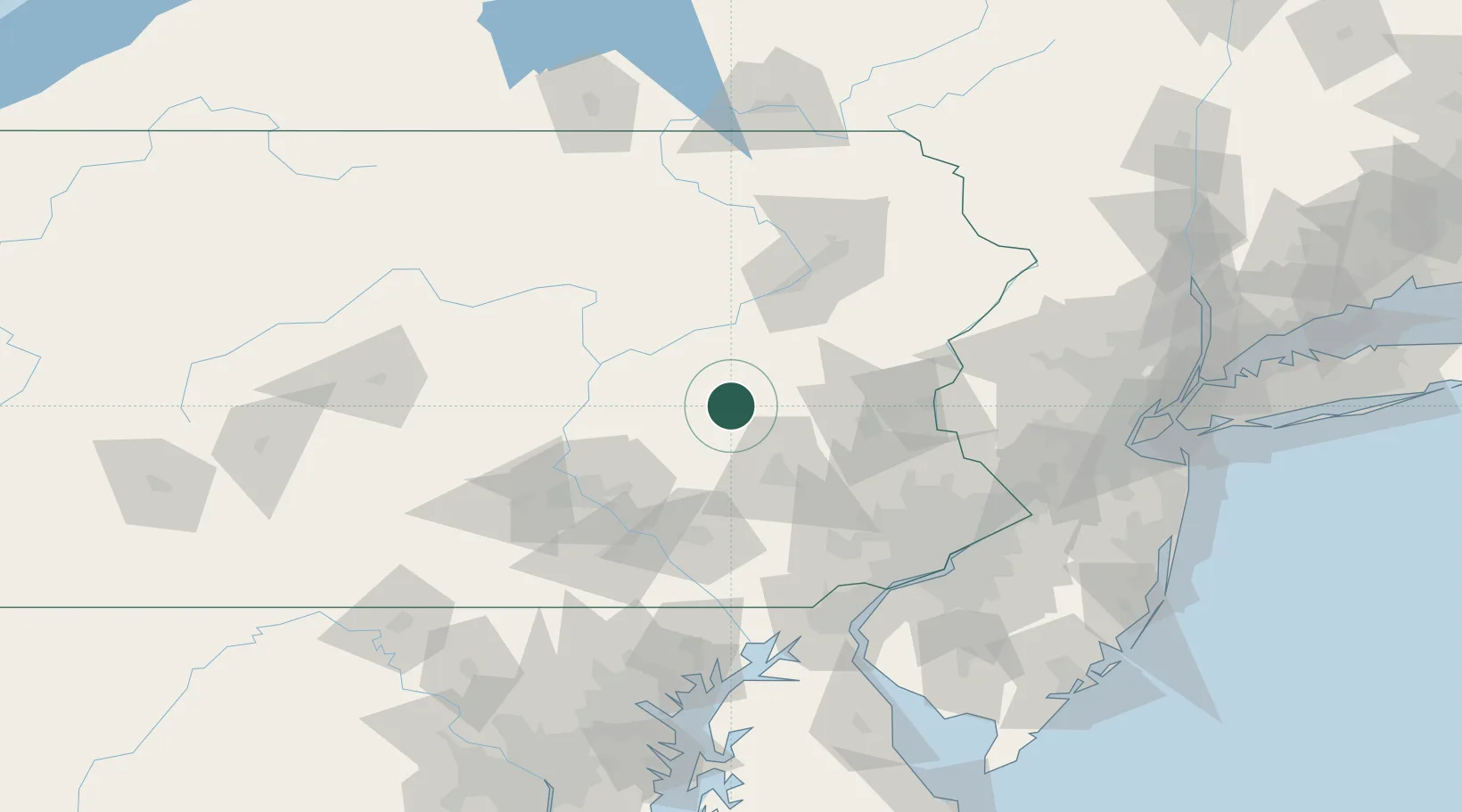
Port Carbon
40.6833°, -76.1667°
1,817
Population
2
Transport functions
Transport Functions
Road
Multimodal
Hub Profile
Place type
Populated place
Region
Pennsylvania
Population
1,817
Time zone
America/New_York
Elevation
200 m
Location
Nearby Logistics Neighbours
Cities
- 1Saint Clair4 km
- 2Marlin7 km
- 3Deer Lake, Schuylkill12 km
- 4Mahanoy City15 km
- 5Barnesville18 km
Ports
- 1Marcus Hook116 km
- 2Chester116 km
- 3Wilmington118 km
- 4Philadelphia120 km
- 5Camden120 km
Airports
Trade Zones
DatabookThe Record of Consolidated Knowledge
United States beyond logistics?