Transport Functions
Rail
Road
Multimodal
Hub Profile
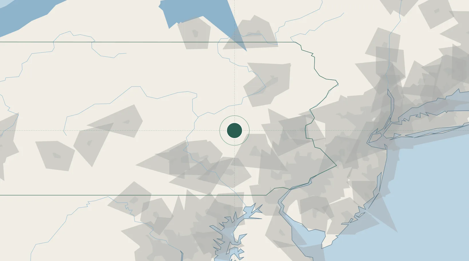
Place type
Populated place
Region
Pennsylvania
Population
661
Time zone
America/New_York
Elevation
225 m
Location
Nearby Logistics Neighbours
Cities
- 1Saint Clair7 km
- 2Port Carbon7 km
- 3Tremont14 km
- 4Mahanoy City15 km
- 5Mabel16 km
Ports
- 1Marcus Hook120 km
- 2Chester120 km
- 3Wilmington121 km
- 4Philadelphia125 km
- 5Camden125 km
Airports
Trade Zones
DatabookThe Record of Consolidated Knowledge
United States beyond logistics?