Transport Functions
Road
Multimodal
Hub Profile
Place type
Populated place
Region
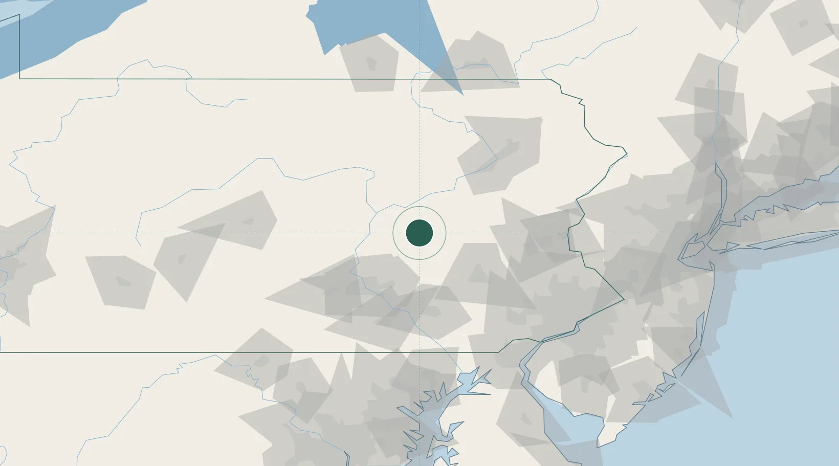
Pennsylvania
Time zone
America/New_York
Elevation
257 m
Location
Nearby Logistics Neighbours
Cities
- 1Mount Carmel8 km
- 2Kulpmont10 km
- 3Coal Run, Northumberland10 km
- 4Tremont12 km
- 5Coal Township12 km
Ports
- 1Marcus Hook132 km
- 2Wilmington133 km
- 3Chester133 km
- 4Havre De Grace135 km
- 5Deepwater Point137 km
Airports
Trade Zones
DatabookThe Record of Consolidated Knowledge
United States beyond logistics?