UN/LOCODE hub · United States
USMTK
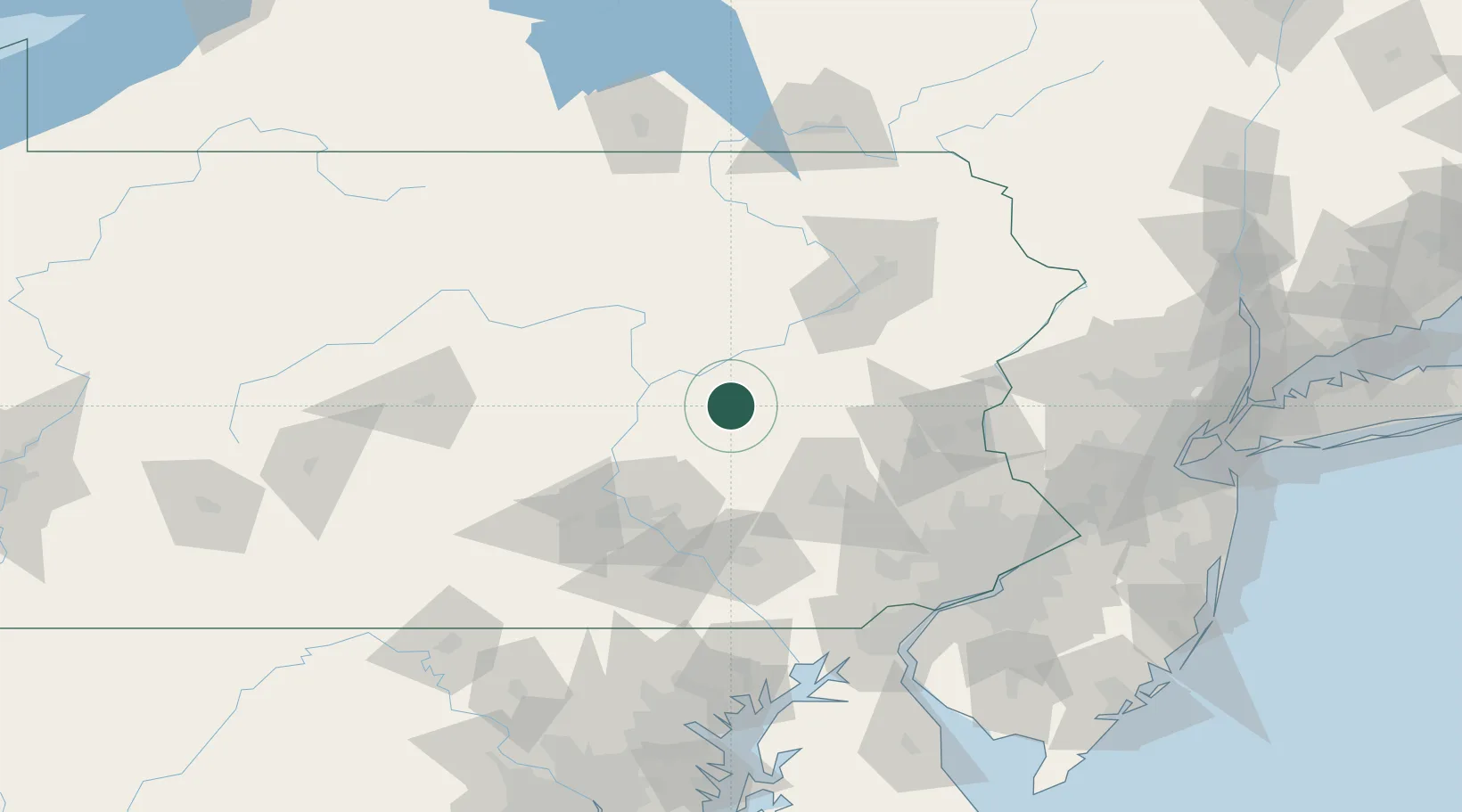
Mount Carmel
40.7833°, -76.4000°
5,728
Population
4
Transport functions
Transport Functions
Port
Rail
Road
Multimodal
Hub Profile
Place type
Populated place
Region
Pennsylvania
Population
5,728
Time zone
America/New_York
Elevation
336 m
Location
Nearby Logistics Neighbours
Cities
- 1Kulpmont6 km
- 2Mabel8 km
- 3Coal Run, Northumberland10 km
- 4Coal Township13 km
- 5Shamokin13 km
Ports
- 1Marcus Hook136 km
- 2Chester137 km
- 3Wilmington137 km
- 4Havre De Grace142 km
- 5Philadelphia142 km
Airports
Trade Zones
DatabookThe Record of Consolidated Knowledge
United States beyond logistics?