Transport Functions
Rail
Road
Hub Profile
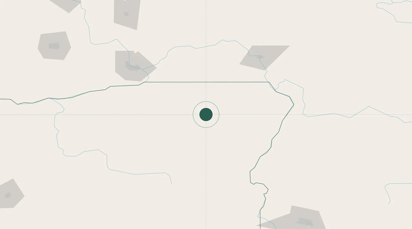
Place type
Populated place
Region
Oregon
Population
306
Time zone
America/Los_Angeles
Elevation
831 m
Location
Nearby Logistics Neighbours
Cities
- 1Athena57 km
- 2Baker City77 km
- 3Lowden83 km
- 4Waitsburg90 km
- 5Richland98 km
Ports
- 1The Dalles252 km
- 2Washougal343 km
- 3Camas347 km
- 4Portland368 km
- 5Vancouver369 km
Airports
Trade Zones
- 1FTZ No. 203 Moses Lake215 km
- 2FTZ No. 280 Ada and Canyon Counties229 km
- 3FTZ No. 224 Spokane250 km
- 4FTZ No. 296 Vancouver370 km
- 5FTZ No. 242 Boundary County377 km
DatabookThe Record of Consolidated Knowledge
United States beyond logistics?