Transport Functions
Rail
Road
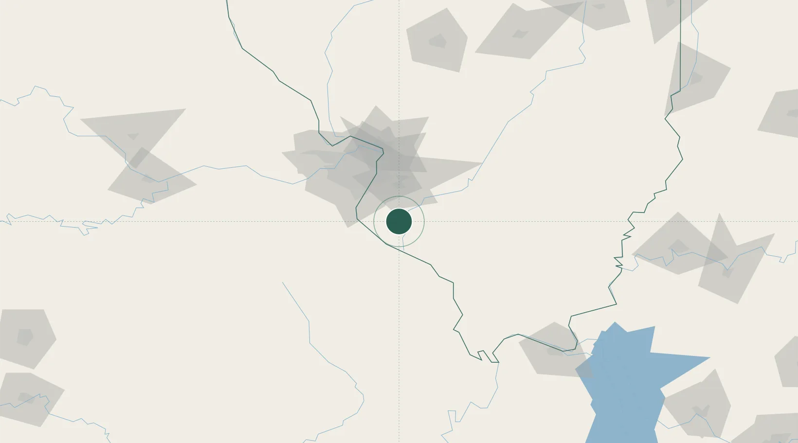
Hub Profile
Place type
Populated place
Region
Illinois
Population
3,586
Time zone
America/Chicago
Elevation
144 m
Location
Nearby Logistics Neighbours
Cities
- 1Baldwin16 km
- 2Evansville16 km
- 3Marissa22 km
- 4Fayetteville25 km
- 5Valmeyer26 km
Ports
- 1Port Of Memphis351 km
- 2Gary441 km
- 3Indiana Harbor442 km
- 4Calumet Harbor445 km
- 5Chicago456 km
Airports
Trade Zones
- 1FTZ No. 031 Granite City61 km
- 2FTZ No. 102 St. Louis County78 km
- 3FTZ No. 294 Western Kentucky179 km
- 4FTZ No. 245 Decatur200 km
- 5FTZ No. 177 Evansville210 km
DatabookThe Record of Consolidated Knowledge
United States beyond logistics?