UN/LOCODE hub · United States
USEE3
East Earl
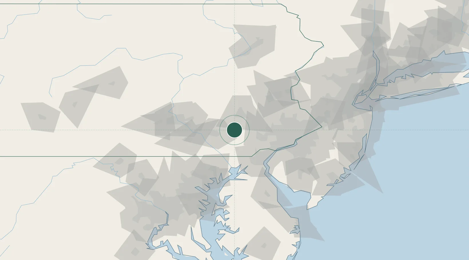
40.1167°, -76.0333°
1,144
Population
2
Transport functions
Transport Functions
Rail
Road
Hub Profile
Place type
Populated place
Region
Pennsylvania
Population
1,144
Time zone
America/New_York
Elevation
155 m
Location
Nearby Logistics Neighbours
Cities
- 1Terre Hill4 km
- 2Narvon5 km
- 3Stevens14 km
- 4Gordonville14 km
- 5Gap15 km
Ports
- 1Wilmington59 km
- 2Marcus Hook62 km
- 3Deepwater Point64 km
- 4Havre De Grace65 km
- 5Chester65 km
Airports
Trade Zones
DatabookThe Record of Consolidated Knowledge
United States beyond logistics?