UN/LOCODE hub · United States
USSFT
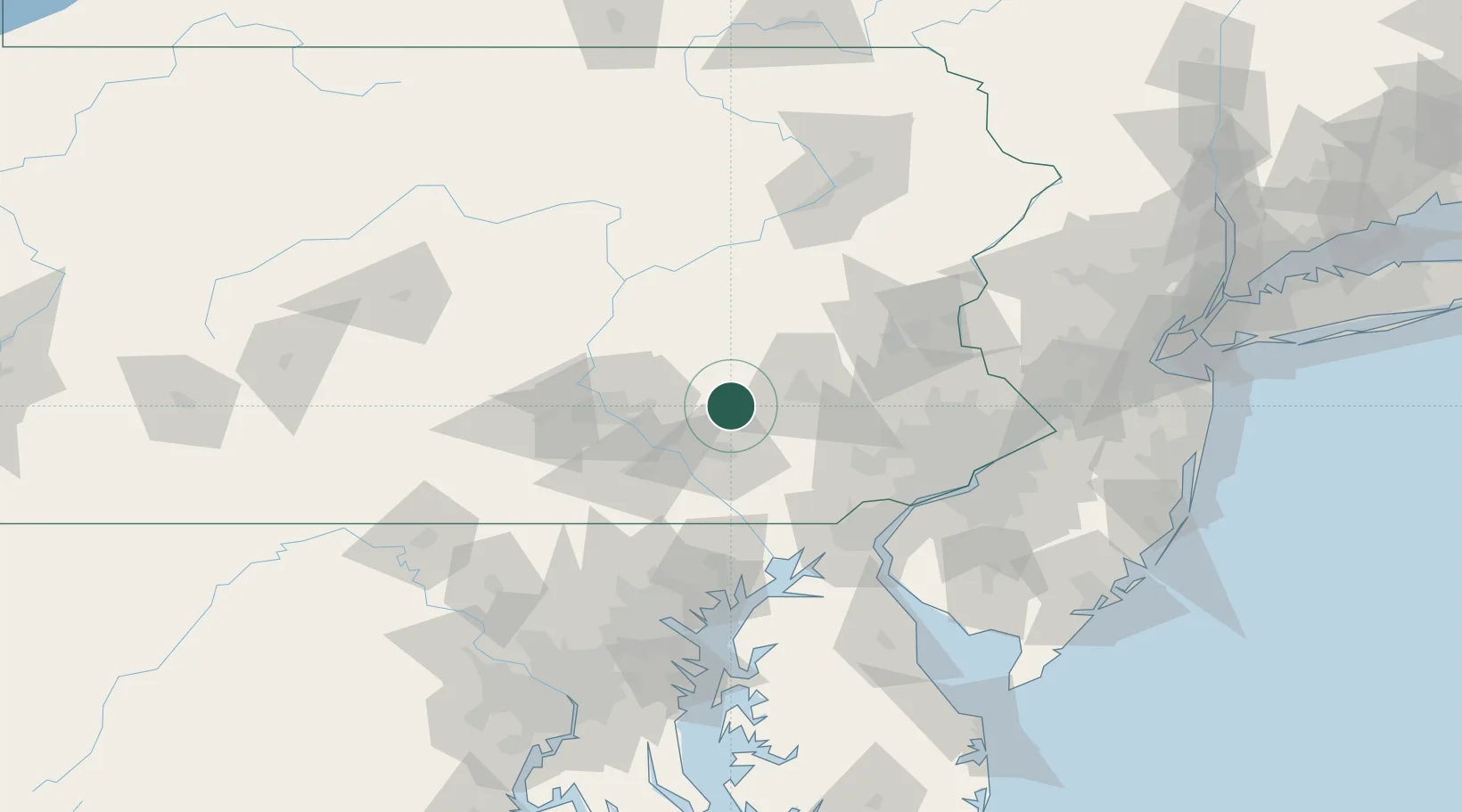
Schaefferstown
40.2833°, -76.2833°
941
Population
2
Transport functions
Transport Functions
Road
Multimodal
Hub Profile
Place type
Populated place
Region
Pennsylvania
Population
941
Time zone
America/New_York
Elevation
176 m
Location
Nearby Logistics Neighbours
Cities
- 1Moonstown1 km
- 2Myerstown9 km
- 3Stevens15 km
- 4Wernersville18 km
- 5Landisville24 km
Ports
- 1Havre De Grace85 km
- 2Wilmington87 km
- 3Marcus Hook90 km
- 4Deepwater Point92 km
- 5Chester93 km
Airports
Trade Zones
DatabookThe Record of Consolidated Knowledge
United States beyond logistics?